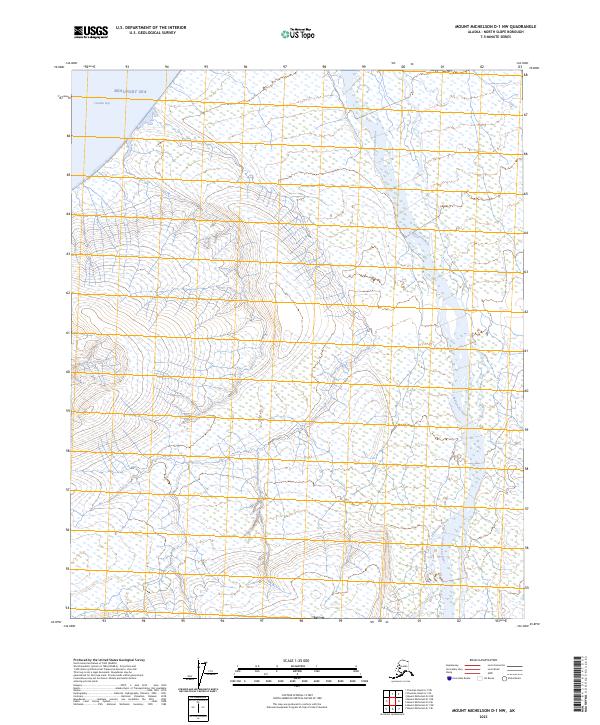
2023 Map of Mount Michelson D-1 NW
USGS Topo · Published 2023About this map
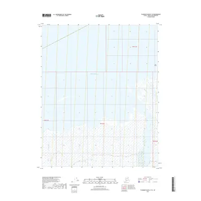
Arctic National Wildlife Refuge encompasses the vast majority of this coastal Alaskan landscape, where the foothills meet the Arctic Ocean. The northern edge of the map is defined by the Beaufort Sea and the protected waters of Camden Bay, serving as a critical boundary for migratory wildlife and maritime navigation. The landscape is characterized by complex braided drainage systems, most notably the Sadlerochit River which flows northward through the refuge. These river corridors, including Itkilyariak Creek, reveal a terrain largely untouched by permanent settlement or road infrastructure, appearing much as it has for generations. The grid systems of the t7n r31e and t8n r31e townships provide the only structural overlay on this wild coastal environment, highlighting the isolation and scale of the North Slope.
Find a feature on this map
10 named features on this map. Tap any name to fly to it.
Don’t see what you’re looking for? This feature index may not catch every label — zoom into the map to look around manually.
Map Details
Editions of this 2023 Mount Michelson D-1 NW Map
This is the sole edition of this map. No revisions or reprints were ever made.
Other maps of this area

1951 · Mt. Michelson
USGS Topo · 1:250,000

1955 · Flaxman Island
USGS Topo · 1:250,000

1955 · Flaxman Island A-1
USGS Topo · 1:63,360

1955 · Mount Michelson D-2
USGS Topo · 1:63,360

1955 · Mount Michelson D-1
USGS Topo · 1:63,360

1956 · Mt. Michelson
USGS Topo · 1:250,000
1962 · Flaxman Island A-1
USGS Topo · 1:50,000
1962 · Mt. Michelson D-1
USGS Topo · 1:50,000
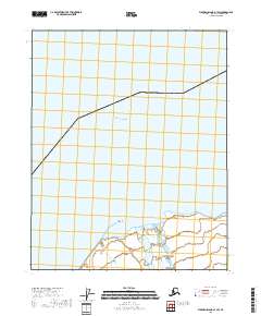
2018 · Flaxman Island A-1 SW
USGS Topo · 1:25,000
2018 · Flaxman Island A-1 SE
USGS Topo · 1:25,000