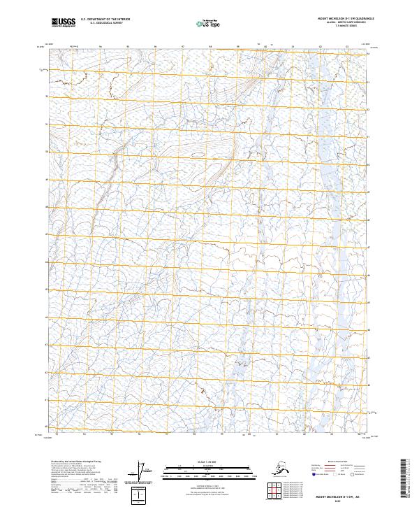
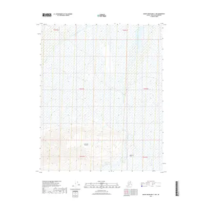
2023 Map of Mount Michelson D-1 SW
USGS Topo · Published 2023About this map
Arctic National Wildlife Refuge encompasses the landscape of this portion of the North Slope, where the drainage patterns of the coastal plain are meticulously charted. The Sadlerochit River dominates the eastern section of the sheet, its braided channels and vast gravel beds indicating a dynamic fluvial environment shaped by seasonal meltwater. To the west, Itkilyariak Creek winds through the tundra, contributing to the complex hydrological network of this high-latitude wilderness. The map provides precise township and range data, including t6n r31e and t5n r30e, which are essential for locating specific parcels and understanding the systematic division of public lands in the Alaskan Arctic.
Find a feature on this map
7 named features on this map. Tap any name to fly to it.
Don’t see what you’re looking for? This feature index may not catch every label — zoom into the map to look around manually.
Map Details
Editions of this 2023 Mount Michelson D-1 SW Map
This is the sole edition of this map. No revisions or reprints were ever made.
Other maps of this area

1951 · Mt. Michelson
USGS Topo · 1:250,000

1955 · Mount Michelson C-1
USGS Topo · 1:63,360

1955 · Mount Michelson C-2
USGS Topo · 1:63,360

1955 · Mount Michelson D-2
USGS Topo · 1:63,360

1955 · Mount Michelson D-1
USGS Topo · 1:63,360

1956 · Mt. Michelson
USGS Topo · 1:250,000
1962 · Mt. Michelson D-1
USGS Topo · 1:50,000
2018 · Mount Michelson D-1 SE
USGS Topo · 1:25,000
2018 · Mount Michelson D-1 NW
USGS Topo · 1:25,000
2018 · Mount Michelson C-1 NW
USGS Topo · 1:25,000