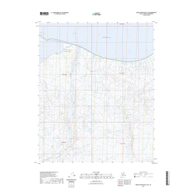
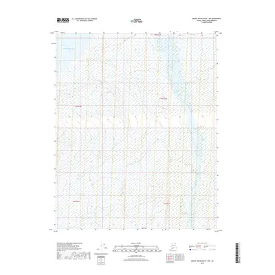
2023 Map of Mount Michelson D-2 NE
USGS Topo · Published 2023About this map
Arctic National Wildlife Refuge encompasses the entirety of this coastal landscape, where the northern slope meets the Beaufort Sea. This 2023 survey documents a remote environment defined by hydrological patterns rather than human infrastructure. The coastline is marked by the indentation of Camden Bay, while the interior is dominated by a dense network of braided drainages and wetlands. Two primary watercourses, Marsh Creek and Carter Creek, flow northward through the coastal plain, creating a complex series of seasonal channels. The lack of roads or settlements emphasizes the strictly protected nature of the terrain within the refuge boundaries, providing a baseline for environmental study along Alaska's northernmost reach.
Find a feature on this map
10 named features on this map. Tap any name to fly to it.
Don’t see what you’re looking for? This feature index may not catch every label — zoom into the map to look around manually.
Map Details
Editions of this 2023 Mount Michelson D-2 NE Map
This is the sole edition of this map. No revisions or reprints were ever made.
Other maps of this area

1951 · Mt. Michelson
USGS Topo · 1:250,000

1955 · Flaxman Island
USGS Topo · 1:250,000

1955 · Flaxman Island A-1
USGS Topo · 1:63,360

1955 · Mount Michelson D-2
USGS Topo · 1:63,360

1955 · Mount Michelson D-1
USGS Topo · 1:63,360

1956 · Mt. Michelson
USGS Topo · 1:250,000
1962 · Flaxman Island A-1
USGS Topo · 1:50,000
1962 · Mt. Michelson D-1
USGS Topo · 1:50,000
2018 · Flaxman Island A-1 SW
USGS Topo · 1:25,000
2018 · Mount Michelson D-1 NW
USGS Topo · 1:25,000