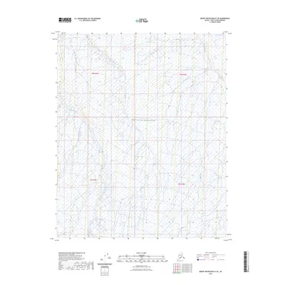
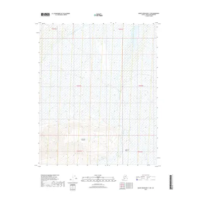
2023 Map of Mount Michelson D-2 SE
USGS Topo · Published 2023About this map
The Arctic National Wildlife Refuge defines the landscape of this remote corner of the North Slope. This area is a complex network of Arctic waterways, primarily centered on the southward drainage of Marsh Creek and its tributary, West Fork Marsh Creek. The hydrology of the region is further characterized by the meandering path of Carter Creek in the eastern portion of the sheet. Surveyed by the U.S. Geological Survey, this map illustrates a vast, uninhabited tundra environment where natural water patterns dictate the geography. The absence of roads or permanent settlements highlights the wilderness character of the region, emphasizing the importance of these named watercourses for navigation and environmental study within the refuge boundaries.
Find a feature on this map
8 named features on this map. Tap any name to fly to it.
Don’t see what you’re looking for? This feature index may not catch every label — zoom into the map to look around manually.
Map Details
Editions of this 2023 Mount Michelson D-2 SE Map
This is the sole edition of this map. No revisions or reprints were ever made.
Other maps of this area

1951 · Mt. Michelson
USGS Topo · 1:250,000

1955 · Mount Michelson C-1
USGS Topo · 1:63,360

1955 · Mount Michelson C-2
USGS Topo · 1:63,360

1955 · Mount Michelson D-2
USGS Topo · 1:63,360

1955 · Mount Michelson D-1
USGS Topo · 1:63,360

1956 · Mt. Michelson
USGS Topo · 1:250,000
1962 · Mt. Michelson D-1
USGS Topo · 1:50,000
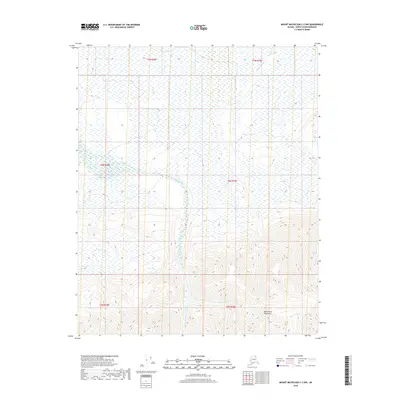
2018 · Mount Michelson C-2 NW
USGS Topo · 1:25,000
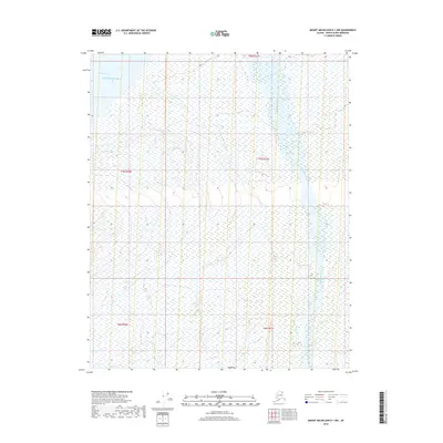
2018 · Mount Michelson D-1 NW
USGS Topo · 1:25,000
2018 · Mount Michelson C-1 NW
USGS Topo · 1:25,000