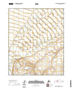
2018 Map of Mount Michelson D-4 NW
USGS Topo · Published 2018About this map
Canning River and Staines River dominate this Arctic landscape on the North Slope, illustrating the braided hydrology of a permafrost-underlain coastal plain. This 2018 survey documents the intricate network of wetlands and seasonal watercourses within the Canning Valley before they reach the Beaufort Sea. The absence of roads or permanent structures on this sheet underscores the preservation of this region as a wilderness corridor. The terrain is characterized by a high density of thaw lakes and patterned ground typical of the Arctic tundra, providing an important reference for changes in coastal plain geomorphology over time.
Find a feature on this map
9 named features on this map. Tap any name to fly to it.
Don’t see what you’re looking for? This feature index may not catch every label — zoom into the map to look around manually.
Map Details
Editions of this 2018 Mount Michelson D-4 NW Map
This is the sole edition of this map. No revisions or reprints were ever made.
Other maps of this area

1951 · Mt. Michelson
USGS Topo · 1:250,000

1955 · Flaxman Island
USGS Topo · 1:250,000

1955 · Mount Michelson D-5
USGS Topo · 1:63,360

1955 · Mount Michelson D-4
USGS Topo · 1:63,360

1955 · Flaxman Island A-5
USGS Topo · 1:63,360

1955 · Flaxman Island A-4
USGS Topo · 1:63,360

1956 · Mt. Michelson
USGS Topo · 1:250,000
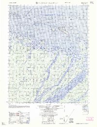
1962 · Flaxman Island A-4
USGS Topo · 1:50,000
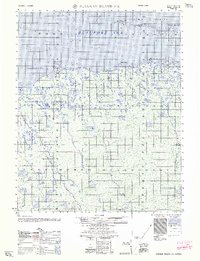
1962 · Flaxman Island A-5
USGS Topo · 1:50,000
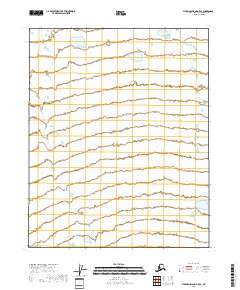
2018 · Flaxman Island A-5 SE
USGS Topo · 1:25,000