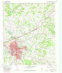
1965 Map of Mount Pleasant
USGS Topo · Published 1980About this map
Mount Pleasant serves as the focal point of this Titus County region, anchored by a significant refinery and the hub of the St Louis Southwestern railroad. The mid-1960s landscape shows a community in transition, with a specialized cluster of educational and civic institutions including Washington High Sch, Wallace Jr High Sch, and a Municipal Airport. Urban expansion is marked by a network of residential developments and public utilities like the Filtration Plant near Old City Lake.
Find a feature on this map
50 named features on this map. Tap any name to fly to it.
Don’t see what you’re looking for? This feature index may not catch every label — zoom into the map to look around manually.
Map Details
Editions of this 1965 Mount Pleasant Map
Other maps of this area

1953 · Texarkana
USGS Topo · 1:250,000

1956 · Texarkana
USGS Topo · 1:250,000

1964 · Harvard
USGS Topo · 1:24,000

1964 · Wilkinson
USGS Topo · 1:24,000

1964 · Talco
USGS Topo · 1:24,000

1964 · Cason
USGS Topo · 1:24,000

1965 · Winfield
USGS Topo · 1:24,000

1965 · Monticello
USGS Topo · 1:24,000

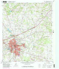
1965 · Mount Pleasant
USGS Topo · 1:24,000
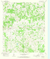
1965 · Cookville
USGS Topo · 1:24,000