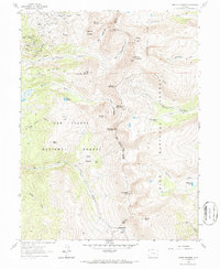
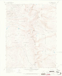
1961 Map of Mount Sherman
USGS Topo · Published 1987About this map
Mining operations dominate the high-altitude landscape of the Mosquito Range in this early 1960s survey. The map details a heavy concentration of silver and lead extraction sites, particularly around Breece Hill and the northern gulches. Notable workings include the Ibex Mines, Printer Boy Mine, and the Continental Chief Mine, reflecting the intensive industrial footprint of the Leadville mining district. The terrain is defined by massive peaks such as Mount Sherman and Horseshoe Mountain, with the National Forest Boundary splitting the area between the San Isabel and Pike National Forests.
Find a feature on this map
58 named features on this map. Tap any name to fly to it.
Don’t see what you’re looking for? This feature index may not catch every label — zoom into the map to look around manually.
Map Details
Editions of this 1961 Mount Sherman Map
5 editions found
Other maps of this area

1889 · Leadville
USGS Topo · 1:125,000

1891 · Leadville
USGS Topo · 1:125,000

1934 · Climax
USGS Topo · 1:48,000

1935 · Mount Elbert
USGS Topo · 1:62,500

1938 · Mt. Lincoln
USGS Topo · 1:48,000

1938 · Mount Elbert
USGS Topo · 1:62,500

1939 · Mount Elbert
USGS Topo · 1:62,500

1942 · Leadville
USGS Topo · 1:125,000

1945 · Mount Lincoln
USGS Topo · 1:62,500

1949 · Holy Cross
USGS Topo · 1:62,500