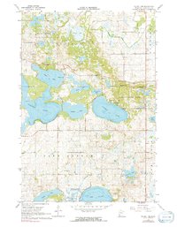
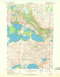
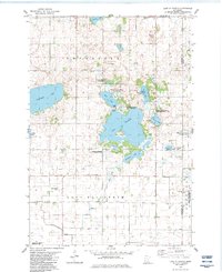
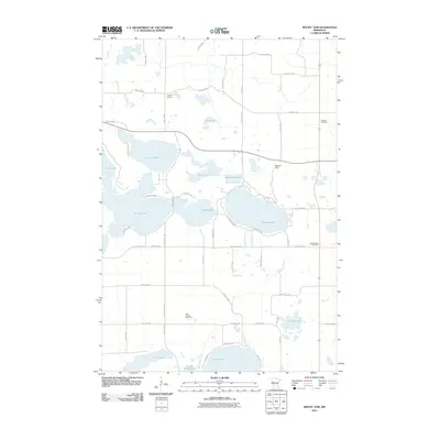
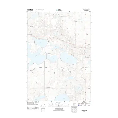
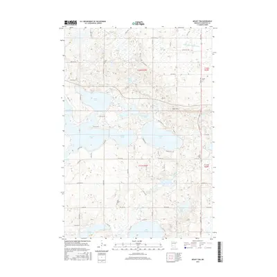
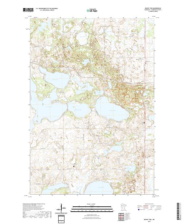
1967 Map of Mount Tom
USGS Topo · Published 1991About this map
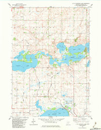
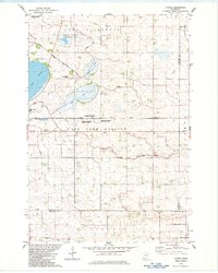
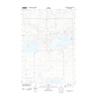
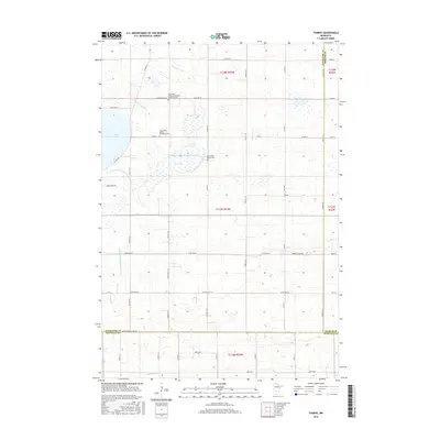
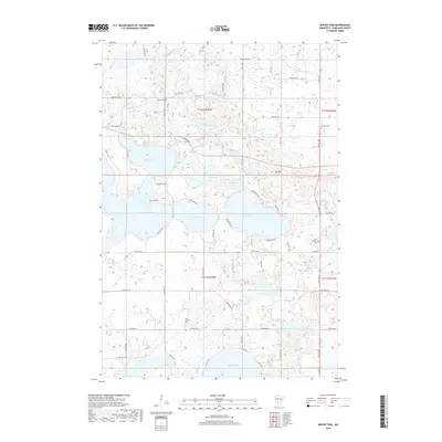
Sibley State Park and the surrounding glacial lake country define this landscape in Kandiyohi County. The terrain is dominated by a dense network of water bodies, including the large basins of Norway Lake, Games Lake, and Andrew Lake, while the prominent rise of Mount Tom overlooks the park's eastern edge. This area reflects a long-standing balance between conservation and rural development, with significant portions designated as a National Wildlife Management Area.
Find a feature on this map
29 named features on this map. Tap any name to fly to it.
Don’t see what you’re looking for? This feature index may not catch every label — zoom into the map to look around manually.
Map Details
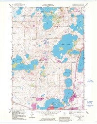
Editions of this 1967 Mount Tom Map
2 editions found
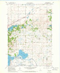
Historical Maps of Kandiyohi County Through Time
36 maps found
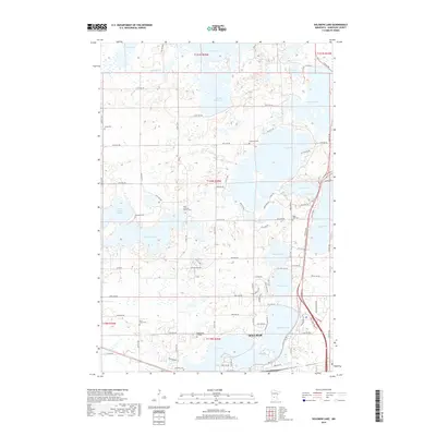
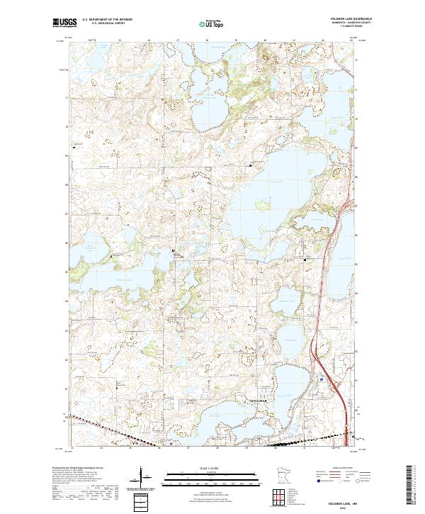
1958 Solomon Lake
Kandiyohi County, MN
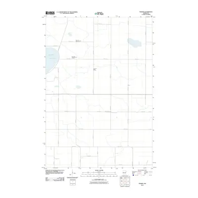
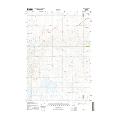
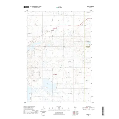
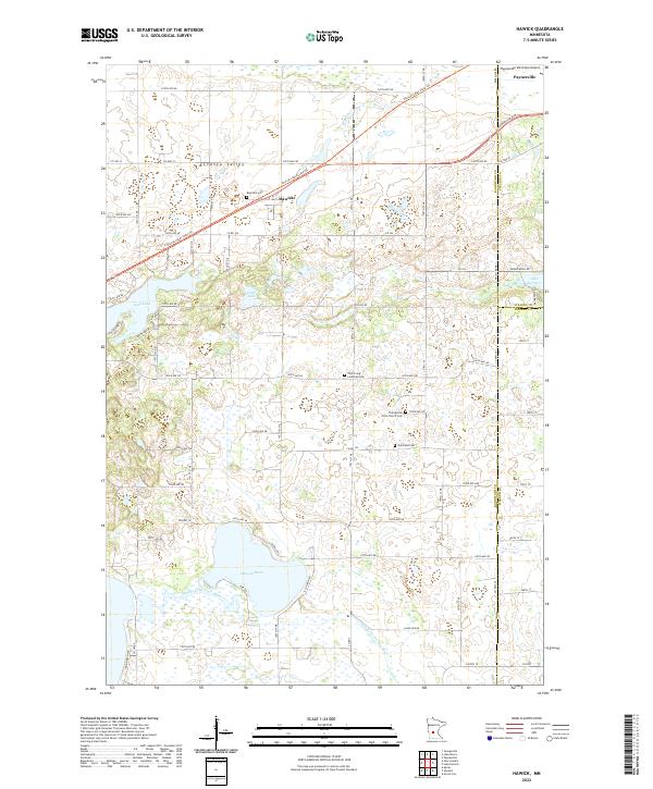
1967 Hawick
Kandiyohi County, MN
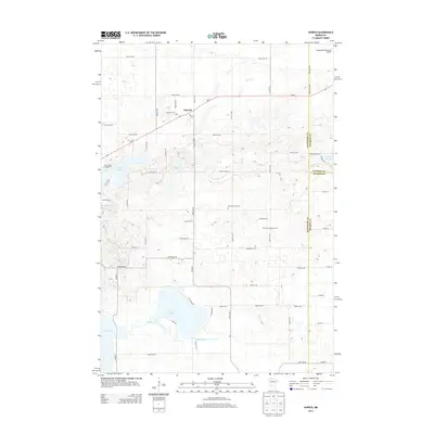
1967 Mount Tom
Kandiyohi County, MN
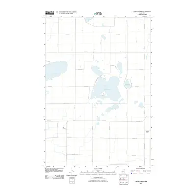
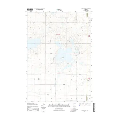
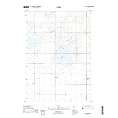
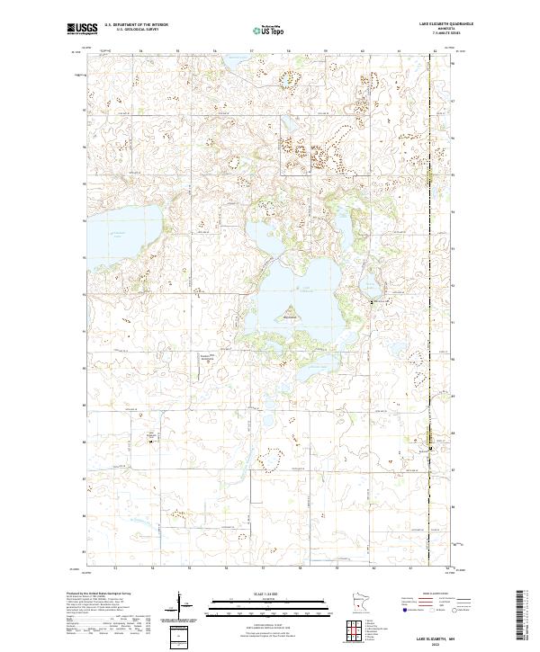
1982 Lake Elizabeth
Kandiyohi County, MN
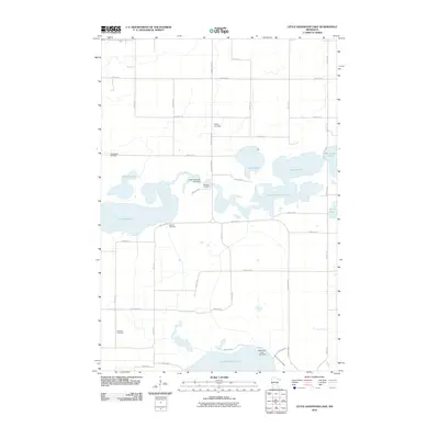
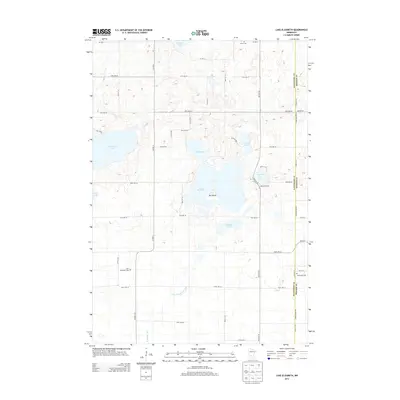
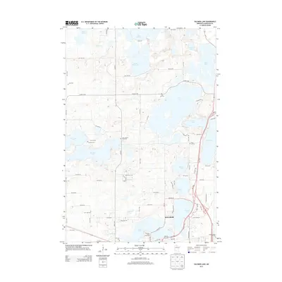
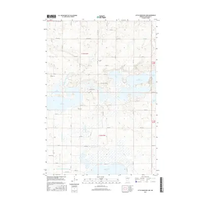
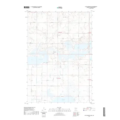
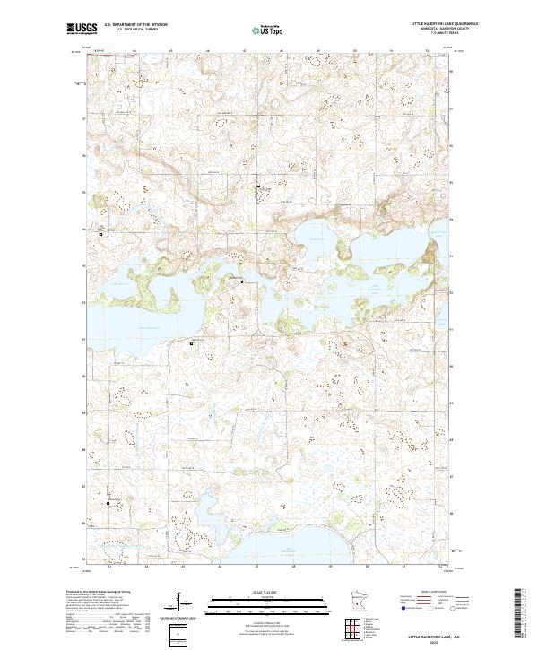
1982 Little Kandiyohi Lake
Kandiyohi County, MN
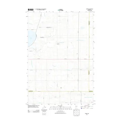
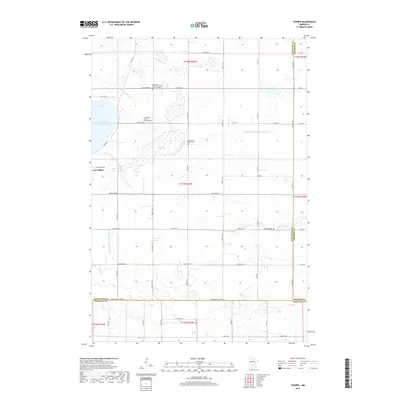
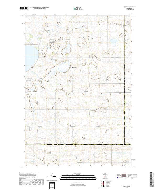
1982 Thorpe
Kandiyohi County, MN
2010 Hawick
Kandiyohi County, MN
2010 Lake Elizabeth
Kandiyohi County, MN
2010 Little Kandiyohi Lake
Kandiyohi County, MN
2010 Mount Tom
Kandiyohi County, MN
2010 Solomon Lake
Kandiyohi County, MN
2010 Thorpe
Kandiyohi County, MN
2013 Hawick
Kandiyohi County, MN
2013 Lake Elizabeth
Kandiyohi County, MN
2013 Little Kandiyohi Lake
Kandiyohi County, MN
2013 Mount Tom
Kandiyohi County, MN
2013 Solomon Lake
Kandiyohi County, MN
2013 Thorpe
Kandiyohi County, MN
2016 Hawick
Kandiyohi County, MN
2016 Lake Elizabeth
Kandiyohi County, MN
2016 Little Kandiyohi Lake
Kandiyohi County, MN
2016 Mount Tom
Kandiyohi County, MN
2016 Solomon Lake
Kandiyohi County, MN
2016 Thorpe
Kandiyohi County, MN
2019 Hawick
Kandiyohi County, MN
2019 Lake Elizabeth
Kandiyohi County, MN
2019 Little Kandiyohi Lake
Kandiyohi County, MN
2019 Mount Tom
Kandiyohi County, MN
2019 Solomon Lake
Kandiyohi County, MN
2019 Thorpe
Kandiyohi County, MN
2022 Hawick
Kandiyohi County, MN
2022 Lake Elizabeth
Kandiyohi County, MN
2022 Little Kandiyohi Lake
Kandiyohi County, MN
2022 Mount Tom
Kandiyohi County, MN
2022 Solomon Lake
Kandiyohi County, MN
2022 Thorpe
Kandiyohi County, MN