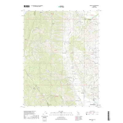
2018 Map of Mount Vaca
USGS Topo · Published 2018About this map
The Vaca Mountains rise sharply in this 2018 survey, defining a dramatic boundary between the coastal ranges and the Sacramento Valley. Centered on the northern edge of Vacaville, the landscape transitions from the dense residential grid near Alamo Creek to the agricultural expanses and high ridges of the English Hills. The map details the complex drainage systems that feed into the Central Valley, including Ulatis Creek and Sweany Creek, while the northwestern reaches are dominated by the heights of Mt Vaca and the steep contours of Seventy Acre Canyon.
Find a feature on this map
78 named features on this map. Tap any name to fly to it.
Don’t see what you’re looking for? This feature index may not catch every label — zoom into the map to look around manually.
Map Details
Editions of this 2018 Mount Vaca Map
This is the sole edition of this map. No revisions or reprints were ever made.
Other maps of this area
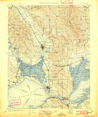
1902 · Napa
USGS Topo · 1:125,000
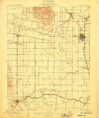
1907 · Woodland
USGS Topo · 1:62,500
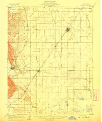
1908 · Vacaville
USGS Topo · 1:62,500
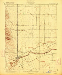
1916 · Winters
USGS Topo · 1:31,680
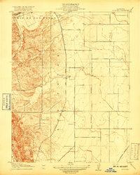
1917 · Wolfskill
USGS Topo · 1:31,680
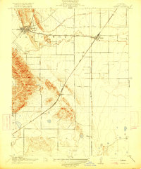
1917 · Elmira
USGS Topo · 1:31,680
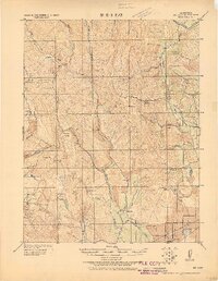
1921 · Mt. Vaca
USGS Topo · 1:62,500
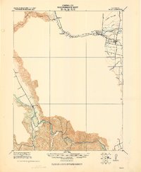
1924 · Capay
USGS Topo · 1:62,500
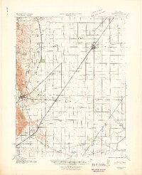
1941 · Vacaville
USGS Topo · 1:62,500
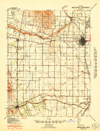
1941 · Woodland
USGS Topo · 1:62,500