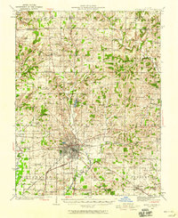
1933 Map of Mount Vernon
USGS Topo · Published 1958About this map
Mount Vernon serves as the central hub of this Southern Illinois landscape, where multiple rail lines including the Southern and Southwestern converge. The surrounding Jefferson County countryside is defined by a dense network of rural infrastructure, featuring numerous schools and churches such as Old Shiloh Ch and Union Chapel. The surveying captures the transition from the settled town grid to the surrounding prairies and creek bottoms, including the Wolf Prairie area.
Find a feature on this map
119 named features on this map. Tap any name to fly to it.
Don’t see what you’re looking for? This feature index may not catch every label — zoom into the map to look around manually.
Map Details
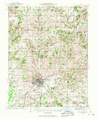
Editions of this 1933 Mount Vernon Map
3 editions found
Other maps of this area

1914 · Centralia
USGS Topo · 1:62,500

1926 · Duquoin
USGS Topo · 1:62,500

1933 · Mount Vernon
USGS Topo · 1:48,000

1934 · Salem
USGS Topo · 1:62,500

1935 · Centralia
USGS Topo · 1:62,500

1938 · Salem
USGS Topo · 1:62,500

1939 · Ina
USGS Topo · 1:62,500

1940 · Mount Vernon
USGS Topo · 1:62,500

1942 · McLeansboro
USGS Topo · 1:62,500

1943 · Ina
USGS Topo · 1:62,500