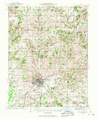
1933 Map of Mount Vernon
USGS Topo · Published 1968About this map
Mount Vernon serves as the central hub of this Southern Illinois survey, showing a dense grid of streets and industry at the junction of several major rail lines. The landscape is defined by the intersection of the Third Principal Meridian and the Base Line, a critical point for regional land surveying. The rural sections of Shiloh, Webber, and Dodds townships are densely populated with small country schools and community houses of worship, such as Old Shiloh Ch, Lebanon Ch, and Wolf Prairie Ch. Along the banks of Casey Fork and Sevenmile Creek, the map details a complex network of early roads and rail routes including the Southern Railway and the Louisville and Nashville Railroad. This era of the 1930s is preserved here, showing numerous family-named landmarks like Atkinson Cem and Woods Sch before later development altered the rural character of Jefferson County.
Find a feature on this map
118 named features on this map. Tap any name to fly to it.
Don’t see what you’re looking for? This feature index may not catch every label — zoom into the map to look around manually.
Map Details
Editions of this 1933 Mount Vernon Map
3 editions found
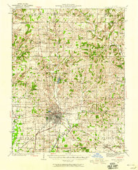
Other maps of this area

1914 · Centralia
USGS Topo · 1:62,500

1926 · Duquoin
USGS Topo · 1:62,500

1933 · Mount Vernon
USGS Topo · 1:48,000

1934 · Salem
USGS Topo · 1:62,500

1935 · Centralia
USGS Topo · 1:62,500

1938 · Salem
USGS Topo · 1:62,500

1939 · Ina
USGS Topo · 1:62,500

1940 · Mount Vernon
USGS Topo · 1:62,500

1942 · McLeansboro
USGS Topo · 1:62,500

1943 · Ina
USGS Topo · 1:62,500