
1933 Map of Mount Vernon
USGS Topo · Published 1933About this map
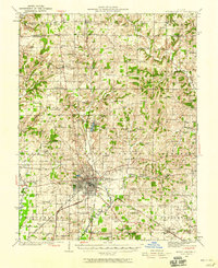
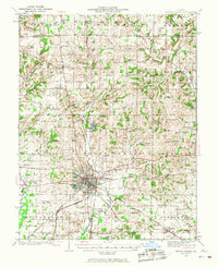
Mt Vernon serves as the focal point of this Jefferson County survey, which documents a landscape transitioning into a mature agrarian and industrial corridor during the early 1930s. The map reveals a dense network of country schools and churches, such as Wells Chapel and Old Shiloh Ch, which anchored small farming communities before the consolidation of the mid-20th century. The presence of multiple rail lines, including the Southern and Illinois Central, highlights the region's importance as a transportation hub, connecting smaller settlements like Dix, Texico, and Bluford to the larger markets.
Find a feature on this map
111 named features on this map. Tap any name to fly to it.
Don’t see what you’re looking for? This feature index may not catch every label — zoom into the map to look around manually.
Map Details
Editions of this 1933 Mount Vernon Map
3 editions found
Other maps of this area

1914 · Centralia
USGS Topo · 1:62,500

1926 · Duquoin
USGS Topo · 1:62,500

1934 · Salem
USGS Topo · 1:62,500

1935 · Centralia
USGS Topo · 1:62,500

1938 · Salem
USGS Topo · 1:62,500

1939 · Ina
USGS Topo · 1:62,500

1940 · Mount Vernon
USGS Topo · 1:62,500

1942 · McLeansboro
USGS Topo · 1:62,500

1943 · Ina
USGS Topo · 1:62,500

1943 · Ashley
USGS Topo · 1:62,500