
1953 Map of Mount Wilson
USGS Topo · Published 1954About this map
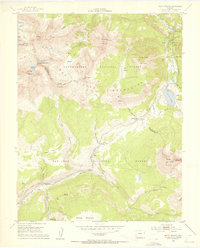
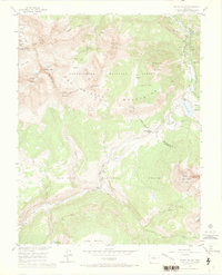
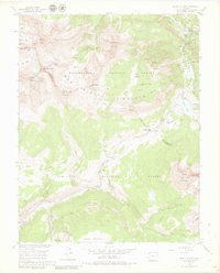
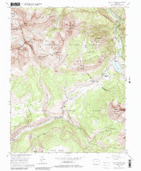
Mining operations and high mountain peaks dominate this mid-century survey of the rugged San Miguel Mountains. The landscape is a testament to the industrial extraction of the era, featuring the Butterfly Mine (Active) and several legacy sites like the Old Butterfly Mine and San Bernardo Mine. Near the settlement of Ames, an Aerial Tramway and Water Tank illustrate the infrastructure required to transport ore and supplies through such steep elevation changes.
Find a feature on this map
53 named features on this map. Tap any name to fly to it.
Don’t see what you’re looking for? This feature index may not catch every label — zoom into the map to look around manually.
Map Details
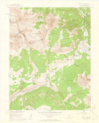
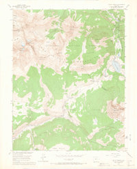
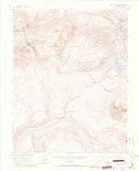
Editions of this 1953 Mount Wilson Map
8 editions found
Other maps of this area

1897 · Rico
USGS Topo · 1:62,500

1897 · Telluride
USGS Topo · 1:62,500

1898 · Engineer Mountain
USGS Topo · 1:62,500

1898 · Rico
USGS Topo · 1:62,500

1899 · Rico
USGS Topo · 1:62,500

1900 · Engineer Mountain
USGS Topo · 1:62,500

1904 · Telluride
USGS Topo · 1:62,500

1908 · Engineer Mountain
USGS Topo · 1:62,500

1945 · Durango
USGS Topo · 1:250,000

1953 · Dolores Peak
USGS Topo · 1:24,000