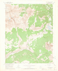
1953 Map of Mount Wilson
USGS Topo · Published 1966About this map
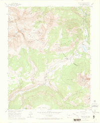
Mining operations and high-altitude transport networks define this portion of the San Miguel and Dolores River watersheds in the early 1950s. The industry-heavy landscape is evidenced by the Butterfly Mine (Active) and the San Bernardo Mine, alongside several sites already noted as inactive, such as the Coal Mine (Aban'd) and an Aerial Tramway (Aban'd) near Silver Pick Basin. These extraction points are connected by the winding route of the Rio Grande Southern Railroad, which navigates the steep grades near Lizard Head Pass.
Find a feature on this map
62 named features on this map. Tap any name to fly to it.
Don’t see what you’re looking for? This feature index may not catch every label — zoom into the map to look around manually.
Map Details
Editions of this 1953 Mount Wilson Map
8 editions found
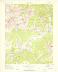
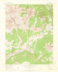
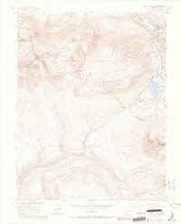
Other maps of this area

1897 · Rico
USGS Topo · 1:62,500

1897 · Telluride
USGS Topo · 1:62,500

1898 · Engineer Mountain
USGS Topo · 1:62,500

1898 · Rico
USGS Topo · 1:62,500

1899 · Rico
USGS Topo · 1:62,500

1900 · Engineer Mountain
USGS Topo · 1:62,500

1904 · Telluride
USGS Topo · 1:62,500

1908 · Engineer Mountain
USGS Topo · 1:62,500

1945 · Durango
USGS Topo · 1:250,000

1953 · Mount Wilson
USGS Topo · 1:24,000