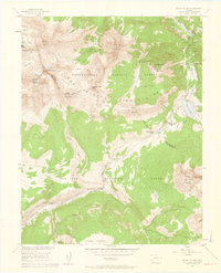
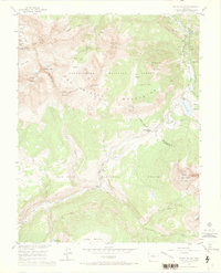
1953 Map of Mount Wilson
USGS Topo · Published 1961About this map
The high San Miguel Mountains defined a landscape of intensive mineral extraction and early transport networks in the early 1950s. Industrial infrastructure is prominent in the northern reaches, where the Silver Pick Mine and Synopsis Mine sit near an Aerial Tramway in the Silver Pick Basin. To the east, the settlement of Ames serves as a waypoint near the junction of the South Fork San Miguel River and Howard Fork.
Find a feature on this map
48 named features on this map. Tap any name to fly to it.
Don’t see what you’re looking for? This feature index may not catch every label — zoom into the map to look around manually.
Map Details
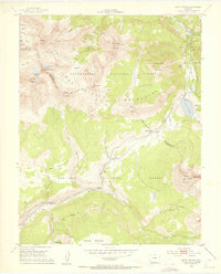
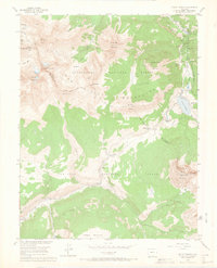
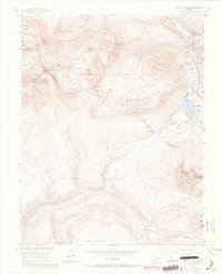
Editions of this 1953 Mount Wilson Map
8 editions found
Other maps of this area

1897 · Rico
USGS Topo · 1:62,500

1897 · Telluride
USGS Topo · 1:62,500

1898 · Engineer Mountain
USGS Topo · 1:62,500

1898 · Rico
USGS Topo · 1:62,500

1899 · Rico
USGS Topo · 1:62,500

1900 · Engineer Mountain
USGS Topo · 1:62,500

1904 · Telluride
USGS Topo · 1:62,500

1908 · Engineer Mountain
USGS Topo · 1:62,500

1945 · Durango
USGS Topo · 1:250,000

1953 · Mount Wilson
USGS Topo · 1:24,000