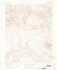
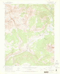
1953 Map of Mount Wilson
USGS Topo · Published 1966About this map
Mount Wilson and the surrounding San Miguel Mountains define this high-altitude landscape during a mid-century period of transition. The geography reflects a historical reliance on extraction and transit, evidenced by the Old Railroad Grade and the Highline Stock Driveway cutting across the San Miguel and Dolores County line. Active industry is still present at the Butterfly Mine near Ames, while the silence of the Coal Mine (Aband) near Coke Oven points to the area's shifting economic focus. Significant landmarks like Trout Lake and Lizard Head Pass serve as anchoring points for the network of trails including the Lizard Head Trail and Sheep Trail. This survey, produced with cooperation from the Atomic Energy Commission, provides a meticulous look at the land within the Uncompahgre National Forest and San Juan National Forest.
Find a feature on this map
51 named features on this map. Tap any name to fly to it.
Don’t see what you’re looking for? This feature index may not catch every label — zoom into the map to look around manually.
Map Details
Editions of this 1953 Mount Wilson Map
8 editions found
Other maps of this area

1897 · Rico
USGS Topo · 1:62,500

1897 · Telluride
USGS Topo · 1:62,500

1898 · Engineer Mountain
USGS Topo · 1:62,500

1898 · Rico
USGS Topo · 1:62,500

1899 · Rico
USGS Topo · 1:62,500

1900 · Engineer Mountain
USGS Topo · 1:62,500

1904 · Telluride
USGS Topo · 1:62,500

1908 · Engineer Mountain
USGS Topo · 1:62,500

1945 · Durango
USGS Topo · 1:250,000

1953 · Mount Wilson
USGS Topo · 1:24,000