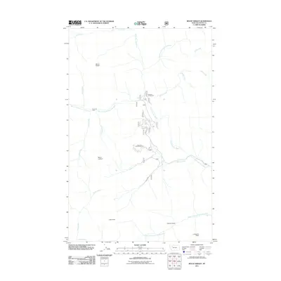
2011 Map of Mount Wright
USGS Topo · Published 2011About this map
Mount Wright and Teton Peak dominate this high-altitude landscape in western Teton County, where the headwaters of the Teton River system converge. The drainage network is complex, featuring the North Fork Teton River, the Middle Fork North Fork Teton River, and the West Fork North Fork Teton River, all cutting through steep terrain defined by Lonesome Ridge and Garners Gulch. Human presence is sparse and geared toward seasonal recreation and forest management, centered on the Teton Pass Winter Sports Area and the West Fork Campground.
Find a feature on this map
23 named features on this map. Tap any name to fly to it.
Don’t see what you’re looking for? This feature index may not catch every label — zoom into the map to look around manually.
Map Details
Editions of this 2011 Mount Wright Map
This is the sole edition of this map. No revisions or reprints were ever made.
Other maps of this area

1903 · Saypo
USGS Topo · 1:125,000

1914 · Heart Butte
USGS Topo · 1:125,000

1918 · Heart Butte
USGS Topo · 1:125,000

1955 · Choteau
USGS Topo · 1:250,000

1957 · Choteau
USGS Topo · 1:250,000

1958 · Choteau
USGS Topo · 1:250,000

1958 · Ear Mountain
USGS Topo · 1:24,000

1958 · Cave Mountain
USGS Topo · 1:24,000

1958 · Porphyry Reef
USGS Topo · 1:24,000

1958 · Mount Wright
USGS Topo · 1:24,000