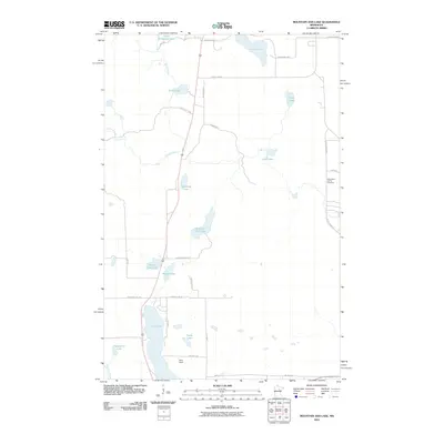
2010 Map of Mountain Ash Lake
USGS Topo · Published 2010About this map
Mountain Ash Lake lies at the center of this 2010 topographic survey of northern Minnesota, a region defined by its dense network of glacial basins and timber access roads. The landscape is characterized by a series of significant water bodies, including Hill Lake in the south and Little Pokegama Lake to the north, connected by drainage systems like Smith Creek and Morrison Brook. Human settlement here is sparse and primarily tied to the rural road network, which features long-standing routes such as W Splithand Rd and County Hwy-67. Genealogical interest is anchored by the Heavirland Family Cemetery located in the eastern portion of the quadrangle. Other notable landmarks include the Reco Field landing strip and unique local names like Dinner Pail Lake, suggesting the area's history as a place of seasonal recreation and forestry work.
Find a feature on this map
34 named features on this map. Tap any name to fly to it.
Don’t see what you’re looking for? This feature index may not catch every label — zoom into the map to look around manually.
Map Details
Editions of this 2010 Mountain Ash Lake Map
This is the sole edition of this map. No revisions or reprints were ever made.
Other maps of this area

1953 · Siseebakwet Lake
USGS Topo · 1:24,000

1953 · Grand Rapids
USGS Topo · 1:24,000

1953 · Duluth
USGS Topo · 1:250,000

1954 · Hibbing
USGS Topo · 1:250,000

1957 · Hibbing
USGS Topo · 1:250,000

1958 · Hibbing
USGS Topo · 1:250,000

1958 · Duluth
USGS Topo · 1:250,000

1964 · Hibbing
USGS Topo · 1:250,000

1969 · La Prairie
USGS Topo · 1:24,000

1970 · Split Hand Lake
USGS Topo · 1:24,000