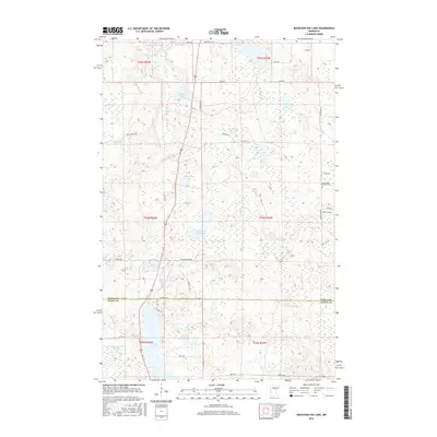
2016 Map of Mountain Ash Lake
USGS Topo · Published 2016About this map
Mountain Ash Lake and its surrounding wetlands characterize this pocket of Northern Minnesota at the border of Itasca and Aitkin counties. The landscape is a complex network of glacial basins and water bodies, including Little Pokegama Lake in the north and the cluster of Dinner Pail Lake, Maple Lake, and Hill Lake further south. This 2016 survey documents the rural road system that services these timber and recreational lands, with routes like Blandin Rd and Splithand Rd cutting through the dense lake country. For those looking into local lineage, the Heavirland Family Cem is a notable landmark located near the eastern boundary of Township 53 North. The map reveals the hydrology of Smith Cr as it flows near Smith Lake, illustrating the transition from open water to marshland that defines much of this region.
Find a feature on this map
47 named features on this map. Tap any name to fly to it.
Don’t see what you’re looking for? This feature index may not catch every label — zoom into the map to look around manually.
Map Details
Editions of this 2016 Mountain Ash Lake Map
This is the sole edition of this map. No revisions or reprints were ever made.
Other maps of this area

1953 · Siseebakwet Lake
USGS Topo · 1:24,000

1953 · Grand Rapids
USGS Topo · 1:24,000

1953 · Duluth
USGS Topo · 1:250,000

1954 · Hibbing
USGS Topo · 1:250,000

1957 · Hibbing
USGS Topo · 1:250,000

1958 · Hibbing
USGS Topo · 1:250,000

1958 · Duluth
USGS Topo · 1:250,000

1964 · Hibbing
USGS Topo · 1:250,000

1969 · La Prairie
USGS Topo · 1:24,000

1970 · Split Hand Lake
USGS Topo · 1:24,000