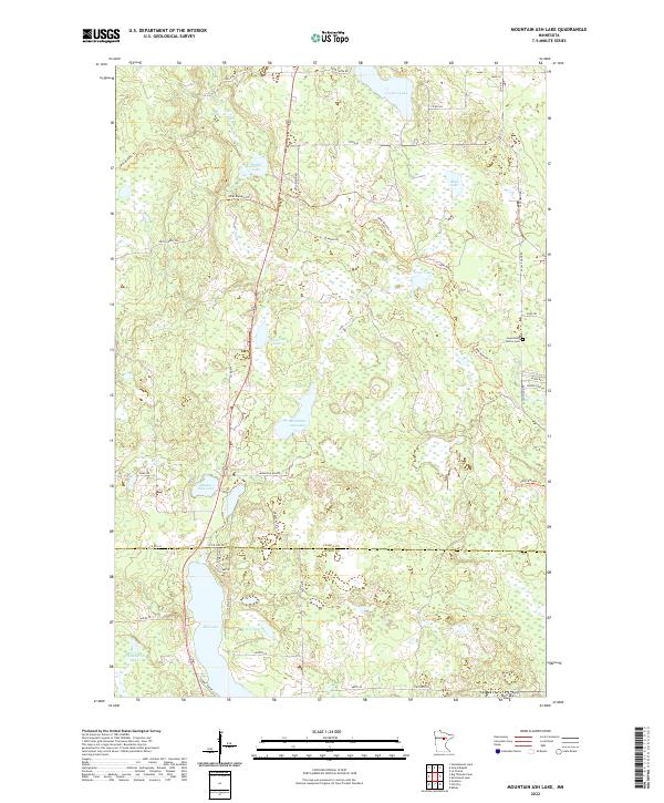
2022 Map of Mountain Ash Lake
USGS Topo · Published 2022About this map
Hill Lake and the wetlands of the North Woods dominate this portion of the border between Itasca County and Aitkin County. The landscape is a complex network of glacial water bodies, from the small Previs Lake and Chamberlin Lake in the south to the larger Carlson Lake and Mud Lake further north. Industrial and recreational access is defined by a web of logging-related routes, notably the UPM/Blandin Trl and Blandin Rd, which weave through the timberlands.
Find a feature on this map
45 named features on this map. Tap any name to fly to it.
Don’t see what you’re looking for? This feature index may not catch every label — zoom into the map to look around manually.
Map Details
Editions of this 2022 Mountain Ash Lake Map
This is the sole edition of this map. No revisions or reprints were ever made.
Other maps of this area

1953 · Siseebakwet Lake
USGS Topo · 1:24,000

1953 · Grand Rapids
USGS Topo · 1:24,000

1953 · Duluth
USGS Topo · 1:250,000

1954 · Hibbing
USGS Topo · 1:250,000

1957 · Hibbing
USGS Topo · 1:250,000

1958 · Hibbing
USGS Topo · 1:250,000

1958 · Duluth
USGS Topo · 1:250,000

1964 · Hibbing
USGS Topo · 1:250,000

1969 · La Prairie
USGS Topo · 1:24,000

1970 · Split Hand Lake
USGS Topo · 1:24,000