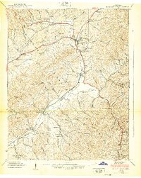
1938 Map of Mountain City
USGS Topo · Published 1938About this map
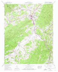
Mountain City serves as the hub of this 1930s mountain landscape, where the Southern railroad line threads through narrow valleys between Doe Mountain and Forge Mountain. The settlement pattern follows the intricate drainage of Roan Creek and Goose Creek, revealing a tight-knit network of family-named landmarks and rural institutions. Significant historical markers include the Kettlefoot Lookout Tower perched on the ridges of the Cherokee National Forest, and the Vaughtsville PO serving localized communities like Maymead and Crackers Neck. This survey documents a transition in rural education and worship, preserving the locations of numerous community anchors such as Shouns Chapel Sch and Pleasant Grove Ch. The presence of many small burial grounds, including Philippi Cem and Donley Cem, offers essential data for genealogical research in this corner of Johnson County.
Find a feature on this map
81 named features on this map. Tap any name to fly to it.
Don’t see what you’re looking for? This feature index may not catch every label — zoom into the map to look around manually.
Map Details
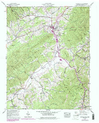
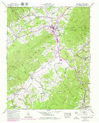
Editions of this 1938 Mountain City Map
7 editions found
Other maps of this area

1891 · Abingdon
USGS Topo · 1:125,000

1893 · Cranberry
USGS Topo · 1:125,000

1894 · Abingdon
USGS Topo · 1:125,000

1895 · Cranberry
USGS Topo · 1:125,000

1899 · Cranberry
USGS Topo · 1:125,000

1902 · Cranberry
USGS Topo · 1:125,000

1909 · Abingdon
USGS Topo · 1:96,000

1911 · Abingdon
USGS Topo · 1:125,000
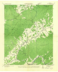
1935 · Doe
USGS Topo · 1:24,000

1935 · Grayson
USGS Topo · 1:24,000