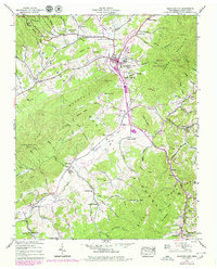
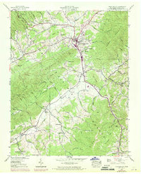
1938 Map of Mountain City
USGS Topo · Published 1979About this map
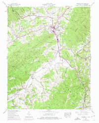
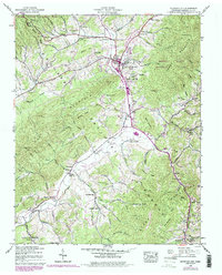
Mountain City serves as the central hub for this corner of Johnson County, where the valley floor is crisscrossed by Roan Creek and Town Creek. The landscape is defined by the sharp rise of Forge Mountain to the east and the protected tracts of the Cherokee Wildlife Management Area. A high density of rural institutions reflects a deeply rooted Appalachian community, with family names preserved in sites like Phillippi Cem and landmarks such as Crackers Neck. Small school-church combinations like Shouns Chapel Sch and isolated houses of worship including Berea Ch and Pleasant View Ch dot the hollows. To the south, the Johnson Co Airport and the community of Neva show the early modernization of the valley, while the Kettlefoot Lookout Tower stands watch over the western ridges.
Find a feature on this map
84 named features on this map. Tap any name to fly to it.
Don’t see what you’re looking for? This feature index may not catch every label — zoom into the map to look around manually.
Map Details
Editions of this 1938 Mountain City Map
7 editions found
Other maps of this area

1891 · Abingdon
USGS Topo · 1:125,000

1893 · Cranberry
USGS Topo · 1:125,000

1894 · Abingdon
USGS Topo · 1:125,000

1895 · Cranberry
USGS Topo · 1:125,000

1899 · Cranberry
USGS Topo · 1:125,000

1902 · Cranberry
USGS Topo · 1:125,000

1909 · Abingdon
USGS Topo · 1:96,000

1911 · Abingdon
USGS Topo · 1:125,000
1935 · Doe
USGS Topo · 1:24,000

1935 · Grayson
USGS Topo · 1:24,000