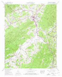
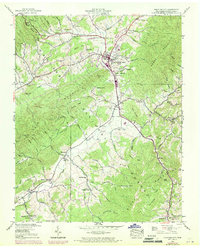
1938 Map of Mountain City
USGS Topo · Published 1974About this map
Mountain City serves as the focal point of this 1938 survey, which was updated in 1969 to reflect local changes. The landscape is characterized by a mix of agricultural valley lands and the wooded slopes of the Cherokee National Forest. To the west, the Kettlefoot Lookout Tower stands atop the ridge, providing a vantage point over the West Fork and East Fork of the drainage. Smaller rural communities like Maymead, Neva, and Crackers Neck are linked by a network of local roads including Valley Road.
Find a feature on this map
79 named features on this map. Tap any name to fly to it.
Don’t see what you’re looking for? This feature index may not catch every label — zoom into the map to look around manually.
Map Details
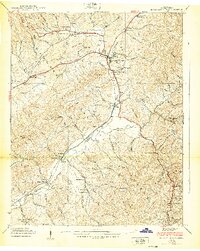
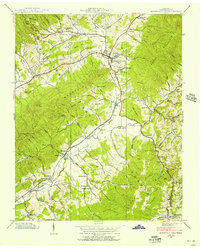
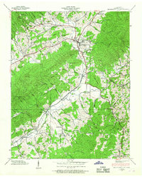
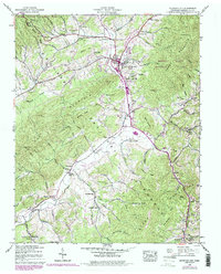
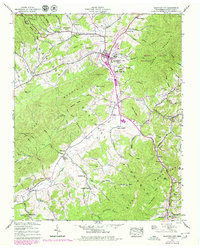
Editions of this 1938 Mountain City Map
7 editions found
Other maps of this area

1891 · Abingdon
USGS Topo · 1:125,000

1893 · Cranberry
USGS Topo · 1:125,000

1894 · Abingdon
USGS Topo · 1:125,000

1895 · Cranberry
USGS Topo · 1:125,000

1899 · Cranberry
USGS Topo · 1:125,000

1902 · Cranberry
USGS Topo · 1:125,000

1909 · Abingdon
USGS Topo · 1:96,000

1911 · Abingdon
USGS Topo · 1:125,000
1935 · Doe
USGS Topo · 1:24,000

1935 · Grayson
USGS Topo · 1:24,000