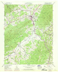
1938 Map of Mountain City
USGS Topo · Published 1971About this map
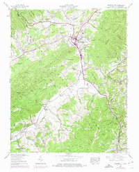
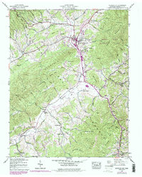
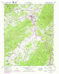
Mountain City serves as the focal point of this 1938 survey, which was updated with aerial photography in 1969 to show the development of the city boundary and surrounding rural communities. The landscape is defined by the significant ridges of Iron Mountain and Cherokee Mountain, with the National Forest covering much of the southern and eastern high ground. The valley floors are dotted with small settlements and family landmarks, such as Crackers Neck and Bakers Gap, alongside numerous country churches including Liberty Ch and Evergreen Ch. Local education history is preserved through the locations of the Brownlow Sch and Shouns Chapel Sch. Cultural and geographic markers like the Kettlefoot Lookout Tower and the Phillippi Cem provide specific points for genealogical research, while the purple photorevisions from the late sixties trace the expansion of roads and fence lines across the Johnson County countryside.
Find a feature on this map
102 named features on this map. Tap any name to fly to it.
Don’t see what you’re looking for? This feature index may not catch every label — zoom into the map to look around manually.
Map Details
Editions of this 1938 Mountain City Map
7 editions found
Other maps of this area

1891 · Abingdon
USGS Topo · 1:125,000

1893 · Cranberry
USGS Topo · 1:125,000

1894 · Abingdon
USGS Topo · 1:125,000

1895 · Cranberry
USGS Topo · 1:125,000

1899 · Cranberry
USGS Topo · 1:125,000

1902 · Cranberry
USGS Topo · 1:125,000

1909 · Abingdon
USGS Topo · 1:96,000

1911 · Abingdon
USGS Topo · 1:125,000
1935 · Doe
USGS Topo · 1:24,000

1935 · Grayson
USGS Topo · 1:24,000