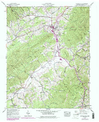
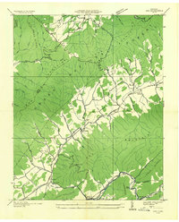
1938 Map of Mountain City
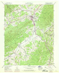
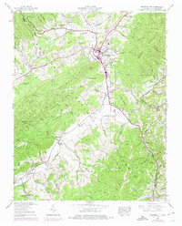
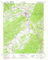
USGS Topo · Published 1979About this map
Mountain City serves as the central hub for this corner of Northeast Tennessee, where the valley floor of Roan Creek meets the steep rising slopes of Iron Mountain. The mapping reveals a landscape deeply connected by mountain gaps and winding watercourses like Forge Creek and Doe Creek. In the late 1930s, the rural character of Johnson County was defined by its localized community centers, often anchored by a church or schoolhouse such as Liberty Ch, Shouns Chapel Sch, and Valley View Sch.
Find a feature on this map
63 named features on this map. Tap any name to fly to it.
Don’t see what you’re looking for? This feature index may not catch every label — zoom into the map to look around manually.
Map Details
Editions of this 1938 Mountain City Map
7 editions found
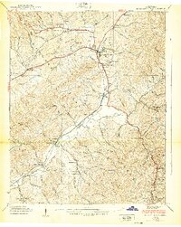
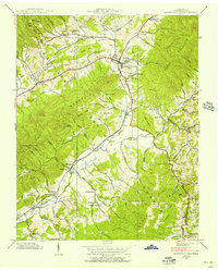
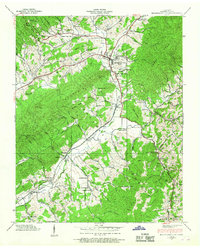
Other maps of this area

1891 · Abingdon
USGS Topo · 1:125,000

1893 · Cranberry
USGS Topo · 1:125,000

1894 · Abingdon
USGS Topo · 1:125,000

1895 · Cranberry
USGS Topo · 1:125,000

1899 · Cranberry
USGS Topo · 1:125,000

1902 · Cranberry
USGS Topo · 1:125,000

1909 · Abingdon
USGS Topo · 1:96,000

1911 · Abingdon
USGS Topo · 1:125,000
1935 · Doe
USGS Topo · 1:24,000

1935 · Grayson
USGS Topo · 1:24,000