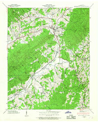
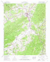
1938 Map of Mountain City
USGS Topo · Published 1967About this map
Mountain City serves as the central hub of this 1930s landscape, situated in a valley floor defined by the converging Southern railroad and Roan Creek. The map documents a rural society deeply connected to its community institutions, with an exceptional density of small educational and religious sites such as Shouns Chapel Sch, Valley View Sch, and Daniels Chappell Sch. Settlement patterns follow the water, stretching from Maymead down to the Vaughtsville PO and the curiously named Crackers Neck.
Find a feature on this map
98 named features on this map. Tap any name to fly to it.
Don’t see what you’re looking for? This feature index may not catch every label — zoom into the map to look around manually.
Map Details
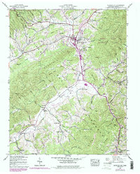
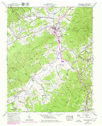
Editions of this 1938 Mountain City Map
7 editions found
Other maps of this area

1891 · Abingdon
USGS Topo · 1:125,000

1893 · Cranberry
USGS Topo · 1:125,000

1894 · Abingdon
USGS Topo · 1:125,000

1895 · Cranberry
USGS Topo · 1:125,000

1899 · Cranberry
USGS Topo · 1:125,000

1902 · Cranberry
USGS Topo · 1:125,000

1909 · Abingdon
USGS Topo · 1:96,000

1911 · Abingdon
USGS Topo · 1:125,000
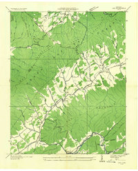
1935 · Doe
USGS Topo · 1:24,000

1935 · Grayson
USGS Topo · 1:24,000