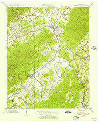
1938 Map of Mountain City
USGS Topo · Published 1956About this map
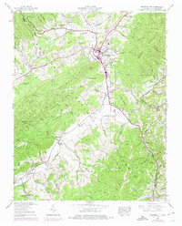
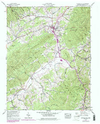
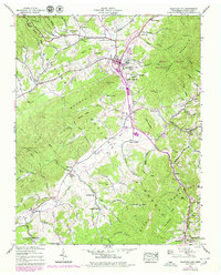
Mountain City serves as the central hub for this corner of northeast Tennessee, where the Southern railroad line tracks along Roan Creek and Doe Creek. The landscape is defined by the heavy timber of the Cherokee National Forest, with high points like Rainbow Mtn and Doe Mountain overlooking a valley floor dotted with small agricultural settlements. The mapping captures a network of small country schools and churches that anchored these mountain communities in the late 1930s, including Wagners School and Pleasant Grove Church.
Find a feature on this map
100 named features on this map. Tap any name to fly to it.
Don’t see what you’re looking for? This feature index may not catch every label — zoom into the map to look around manually.
Map Details
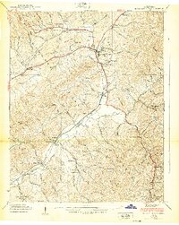
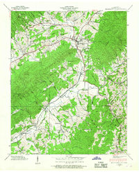
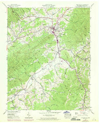
Editions of this 1938 Mountain City Map
7 editions found
Other maps of this area

1891 · Abingdon
USGS Topo · 1:125,000

1893 · Cranberry
USGS Topo · 1:125,000

1894 · Abingdon
USGS Topo · 1:125,000

1895 · Cranberry
USGS Topo · 1:125,000

1899 · Cranberry
USGS Topo · 1:125,000

1902 · Cranberry
USGS Topo · 1:125,000

1909 · Abingdon
USGS Topo · 1:96,000

1911 · Abingdon
USGS Topo · 1:125,000
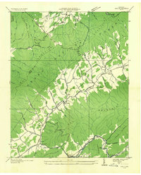
1935 · Doe
USGS Topo · 1:24,000

1935 · Grayson
USGS Topo · 1:24,000