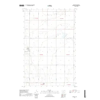
2017 Map of Mountain
USGS Topo · Published 2017About this map
The settlement of Mountain serves as the focal point for this section of Pembina County, situated amidst the organized grid of North Dakota's agricultural heartland. The landscape is defined by the winding paths of Tongue River, Willow Cr, and Cart Cr, which provide a natural counterpoint to the straight lines of the township and range survey system. Of particular interest to local historians is the Mountain Cem, located just west of the town center near the intersection of Co Rd 3 and 129th Ave NE. The presence of the Olafson Brothers Airport in the southern portion of the map suggests the ongoing importance of private aviation in managing these expansive prairie lands. This survey documents the intersection of rural life and traditional topography, where section lines and small-scale infrastructure like Main St form the backbone of the community.
Find a feature on this map
31 named features on this map. Tap any name to fly to it.
Don’t see what you’re looking for? This feature index may not catch every label — zoom into the map to look around manually.
Map Details
Editions of this 2017 Mountain Map
This is the sole edition of this map. No revisions or reprints were ever made.
Other maps of this area

1918 · Walhalla
USGS Topo · 1:62,500

1939 · Cavalier
USGS Topo · 1:62,500

1941 · Cavalier
USGS Topo · 1:62,500

1943 · Walhalla
USGS Topo · 1:62,500

1944 · Crystal
USGS Topo · 1:62,500

1952 · Thief River Falls
USGS Topo · 1:250,000

1956 · Thief River Falls
USGS Topo · 1:250,000

1957 · Thief River Falls
USGS Topo · 1:250,000

1963 · Crystal
USGS Topo · 1:24,000

1963 · Gardar
USGS Topo · 1:24,000