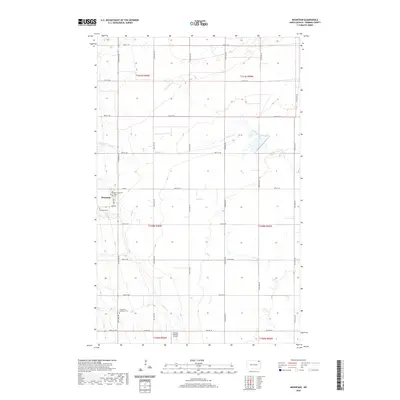
2020 Map of Mountain
USGS Topo · Published 2020About this map
The settlement of Mountain sits on the western edge of the Red River Valley, where the flat prairie begins to yield to the Pembina Escarpment. This community serves as a central point for a landscape defined by organized section lines and a network of seasonal waterways including Willow Creek and Cart Cr. The area reflects a deep-rooted cultural heritage, anchored by the Vikur Lutheran Church in town and the Thingvalla Lutheran Cem to the south. Transportation and infrastructure are characterized by a grid of county and township roads, such as Co Rd 3, which facilitate access between the dispersed agricultural homesteads and local landmarks like the Olafson Brothers Airport. The Tongue River cuts through the northwest corner, indicating the gradual transition of the terrain toward the Pembina Hills.
Find a feature on this map
26 named features on this map. Tap any name to fly to it.
Don’t see what you’re looking for? This feature index may not catch every label — zoom into the map to look around manually.
Map Details
Editions of this 2020 Mountain Map
This is the sole edition of this map. No revisions or reprints were ever made.
Other maps of this area

1918 · Walhalla
USGS Topo · 1:62,500

1939 · Cavalier
USGS Topo · 1:62,500

1941 · Cavalier
USGS Topo · 1:62,500

1943 · Walhalla
USGS Topo · 1:62,500

1944 · Crystal
USGS Topo · 1:62,500

1952 · Thief River Falls
USGS Topo · 1:250,000

1956 · Thief River Falls
USGS Topo · 1:250,000

1957 · Thief River Falls
USGS Topo · 1:250,000

1963 · Crystal
USGS Topo · 1:24,000

1963 · Gardar
USGS Topo · 1:24,000