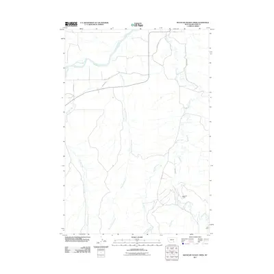
2011 Map of Mountain Pocket Creek
USGS Topo · Published 2011About this map
The Bighorn River flows through the northern reaches of this Big Horn County landscape, where the Big Horn Canal diverted water for agricultural development in the early 21st century. The map reveals a transition from river valley to upland drainage, defined by the winding course of Mountain Pocket Creek and the intricate network of Soap Creek and its tributaries. To the southeast, the Soap Creek Oilfield indicates the region's intersection with the energy industry, supported by a system of gravel routes like Soap Creek Rd. Significant irrigation infrastructure, including the Krone Ditch and Soap Creek Ditch, illustrates how water management shaped the local ranching economy, with Wolf Ranch standing as a primary named settlement hub in this remote Montana territory.
Find a feature on this map
15 named features on this map. Tap any name to fly to it.
Don’t see what you’re looking for? This feature index may not catch every label — zoom into the map to look around manually.
Map Details
Editions of this 2011 Mountain Pocket Creek Map
This is the sole edition of this map. No revisions or reprints were ever made.
Other maps of this area

1894 · St. Xavier
USGS Topo · 1:125,000

1901 · St. Xavier
USGS Topo · 1:125,000

1915 · Spenceville
USGS Topo · 1:31,680

1954 · Hardin
USGS Topo · 1:250,000

1957 · Hardin
USGS Topo · 1:250,000

1958 · Hardin
USGS Topo · 1:250,000

1960 · St Xavier
USGS Topo · 1:24,000

1960 · Mission Coulee
USGS Topo · 1:24,000

1964 · Peyote Point
USGS Topo · 1:24,000
1964 · Mountain Pocket Creek
USGS Topo · 1:24,000