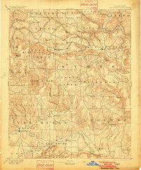
1894 Map of Mountain View
USGS Topo · Published 1902About this map
Mountain View serves as the focal point of this North Central Arkansas landscape during the late nineteenth century, situated within a complex network of high ridges and deep river valleys. The terrain is defined by the sharp relief of Sugar Loaf Mt. and Blue Mountain near Timbo, with the White River carving a prominent bend through Round Bottom in the northeast corner. This 1894 survey captures the region's early river-based economy, evidenced by the numerous river crossings such as Perrin's Fy. and Greers Fy. that linked isolated settlements before modern bridges. To the south, Clinton and Eglantine flank the Little Red River, while smaller communities like Shiloh and Settlement mark the early stages of township development. The map also traces the winding courses of North Sylamore Cr. and Roasting Ear Creek, illustrating the intricate drainage patterns that dictated the placement of pioneer homesteads and roads.
Find a feature on this map
84 named features on this map. Tap any name to fly to it.
Don’t see what you’re looking for? This feature index may not catch every label — zoom into the map to look around manually.
Map Details
Editions of this 1894 Mountain View Map
5 editions found
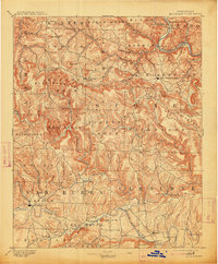
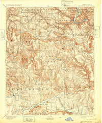
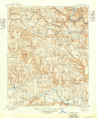
Other maps of this area

1890 · Batesville
USGS Topo · 1:125,000

1890 · Mountain Home
USGS Topo · 1:125,000

1891 · Mountain Home
USGS Topo · 1:125,000

1891 · Batesville
USGS Topo · 1:125,000

1892 · Marshall
USGS Topo · 1:125,000

1892 · Mountain View
USGS Topo · 1:125,000

1892 · Morrillton
USGS Topo · 1:125,000

1893 · Yellville
USGS Topo · 1:125,000

1894 · Mountain View
USGS Topo · 1:125,000

1894 · Morrillton
USGS Topo · 1:125,000