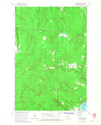
1964 Map of Mt. Ashwabay
USGS Topo · Published 1965About this map
Mt Ashwabay rises above the timbered interior of the Bayfield Peninsula, defining the watershed where several river systems originate. During the mid-1960s, this landscape was characterized by a dense network of watercourses including the Little Sioux River, Sand River, and Bark Creek, alongside numerous active Gravel Pit operations that speak to the local industry and infrastructure of the era. To the east, the drainage from Sultz Swamp feeds into the North Fork Pikes Creek, eventually reaching the shoreline of Lake Superior. The transition between the townships of Russell, Bayfield, and Bayview is marked by these natural boundaries, providing a clear view of the regional topography before modern development altered the upland drainage patterns and forest cover.
Find a feature on this map
15 named features on this map. Tap any name to fly to it.
Don’t see what you’re looking for? This feature index may not catch every label — zoom into the map to look around manually.
Map Details
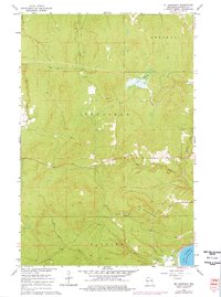
Editions of this 1964 Mt. Ashwabay Map
2 editions found
Other maps of this area

1941 · Bayfield
USGS Topo · 1:48,000

1942 · Ashland
USGS Topo · 1:48,000

1944 · Moquah
USGS Topo · 1:48,000

1944 · Cornucopia
USGS Topo · 1:48,000

1946 · Cornucopia
USGS Topo · 1:48,000

1946 · Bayfield
USGS Topo · 1:48,000

1947 · Moquah
USGS Topo · 1:48,000

1947 · Ashland
USGS Topo · 1:48,000

1953 · Ashland
USGS Topo · 1:250,000

1958 · Ashland
USGS Topo · 1:250,000