
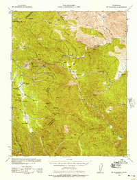
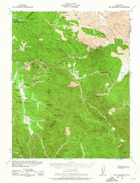
1938 Map of Mt. Boardman
USGS Topo · Published 1957About this map
The Diablo Range landscape in 1938 was a complex terrain of remote ranching and industrial outposts. This survey, prepared under the direction of the Chief of Engineers, reveals a region defined by family holdings such as the Livermore Ranch and Banta Ranch. The remote San Antonio Valley serves as a central hub for the area, featuring the San Antonio Valley Sch and providing a rare pocket of level ground between the peaks of Mt Boardman and Mt Stakes.
Find a feature on this map
29 named features on this map. Tap any name to fly to it.
Don’t see what you’re looking for? This feature index may not catch every label — zoom into the map to look around manually.
Map Details
Editions of this 1938 Mt. Boardman Map
3 editions found
Other maps of this area

1897 · Mt. Hamilton
USGS Topo · 1:62,500

1907 · Tesla
USGS Topo · 1:62,500

1913 · Romain
USGS Topo · 1:31,680

1915 · Westley
USGS Topo · 1:31,680

1916 · Patterson
USGS Topo · 1:31,680

1916 · Romain
USGS Topo · 1:31,680

1917 · Morgan Hill
USGS Topo · 1:62,500

1919 · Orestimba
USGS Topo · 1:62,500

1919 · Orestimba Creek
USGS Topo · 1:31,680

1920 · Pacheco Pass
USGS Topo · 1:62,500