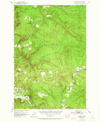
1953 Map of Mt. Brynion
USGS Topo · Published 1964About this map
Mt Brynion dominates this terrain in Washington’s Cowlitz County, where timber extraction and hydrology shaped the mid-century landscape. The Coweman River winds through the southern section of the map, featuring a Gaging Sta and a Cable Crossing that indicate the importance of water monitoring in this drainage basin. To the north, the industrial character of the region is evident at Headquarters, a hub for a sophisticated network of Logging Roads and a Private Road system. A dedicated Logging RR and a specific Tunnel reveal the specialized infrastructure required to navigate the steep drainage of Ostrander Creek and its southern fork. Small residential traces appear in the southwest near the river, where Allen St and Harris St meet a Footbridge, providing a rare point of pedestrian access across the water.
Find a feature on this map
17 named features on this map. Tap any name to fly to it.
Don’t see what you’re looking for? This feature index may not catch every label — zoom into the map to look around manually.
Map Details
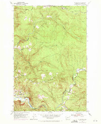
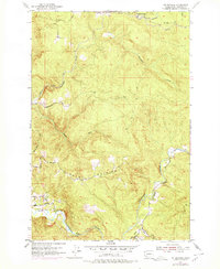
Editions of this 1953 Mt. Brynion Map
4 editions found
Other maps of this area

1921 · Kalama
USGS Topo · 1:62,500

1941 · Olequa
USGS Topo · 1:62,500

1942 · Toutle
USGS Topo · 1:62,500

1943 · Pigeon Springs
USGS Topo · 1:62,500

1953 · Hoquiam
USGS Topo · 1:250,000

1953 · Toutle
USGS Topo · 1:62,500

1953 · Castle Rock
USGS Topo · 1:62,500

1953 · Mt. Brynion
USGS Topo · 1:24,000

1953 · Pigeon Springs
USGS Topo · 1:62,500

1953 · Rainier
USGS Topo · 1:24,000