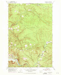
1953 Map of Mt. Brynion
USGS Topo · Published 1971About this map
Mount Brynion anchors this landscape in the early 1950s, a period defined by the active timber industry in Cowlitz County. The map documents an intricate network of industrial transport, including the Private Logging RR and the Ostrander RR, which navigated the steep drainages of Ostrander Creek and its South Fork. These rail lines and numerous logging roads supported operations centered around Headquarters, illustrating the heavy reliance on localized infrastructure to move timber from the highlands down toward the Columbia River corridor.
Find a feature on this map
26 named features on this map. Tap any name to fly to it.
Don’t see what you’re looking for? This feature index may not catch every label — zoom into the map to look around manually.
Map Details
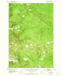
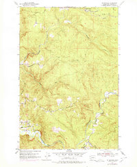
Editions of this 1953 Mt. Brynion Map
4 editions found
Other maps of this area

1921 · Kalama
USGS Topo · 1:62,500

1941 · Olequa
USGS Topo · 1:62,500

1942 · Toutle
USGS Topo · 1:62,500

1943 · Pigeon Springs
USGS Topo · 1:62,500

1953 · Hoquiam
USGS Topo · 1:250,000

1953 · Toutle
USGS Topo · 1:62,500

1953 · Castle Rock
USGS Topo · 1:62,500

1953 · Mt. Brynion
USGS Topo · 1:24,000

1953 · Pigeon Springs
USGS Topo · 1:62,500

1953 · Rainier
USGS Topo · 1:24,000