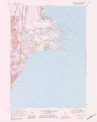
1968 Map of Mt Clemens East
USGS Topo · Published 1984About this map
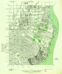
Selfridge Air Force Base dominates the shoreline of L'Anse Creuse Bay, illustrating the massive military presence along Lake St. Clair during the late twentieth century. This survey reveals a landscape defined by water and infrastructure, where the Clinton River and the Spillway channel through the burgeoning residential corridors of Mt Clemens and St Clair Shores. Local genealogy and social history are preserved in the numerous institutions mapped here, including Christian Clemens Ch, St Huberts Ch, and L'Anse Creuse High Sch.
Find a feature on this map
39 named features on this map. Tap any name to fly to it.
Don’t see what you’re looking for? This feature index may not catch every label — zoom into the map to look around manually.
Map Details
Editions of this 1968 Mt Clemens East Map
4 editions found
Other maps of this area

1905 · Grosse Pointe
USGS Topo · 1:62,500

1912 · Mt Clemens
USGS Topo · 1:62,500

1914 · Algonac
USGS Topo · 1:62,500

1918 · Grosse Pointe
USGS Topo · 1:62,500

1929 · Mt Clemens
USGS Topo · 1:62,500

1936 · New Haven
USGS Topo · 1:31,680

1936 · Waldenburg
USGS Topo · 1:31,680

1936 · Selfridge Field
USGS Topo · 1:31,680

1936 · New Baltimore
USGS Topo · 1:31,680
1936 · Grosse Pointe
USGS Topo · 1:31,680
Featured Places
- Clinton Township, MI
- Saint Clair Shores, MI
- Harrison Township, MI
- Mount Clemens, MI
- Saint Clair Haven, Harrison Township