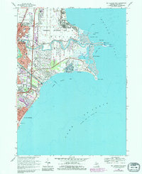
1968 Map of Mt Clemens East
USGS Topo · Published 1984About this map
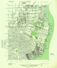
The waters of Lake St Clair dominate this coastal survey, where the Clinton River and the Clinton River Spillway meet the sprawling shoreline of Macomb County. This landscape is defined by its mid-century military and recreational infrastructure, notably the expansive Selfridge Air Force Base and the developed waterfront of Metropolitan Beach. The map details the transition from the established urban blocks of Mt Clemens to the marshy inlets of Belvidere Bay and Campau Bay.
Find a feature on this map
43 named features on this map. Tap any name to fly to it.
Don’t see what you’re looking for? This feature index may not catch every label — zoom into the map to look around manually.
Map Details
Editions of this 1968 Mt Clemens East Map
4 editions found
Other maps of this area

1905 · Grosse Pointe
USGS Topo · 1:62,500

1912 · Mt Clemens
USGS Topo · 1:62,500

1914 · Algonac
USGS Topo · 1:62,500

1918 · Grosse Pointe
USGS Topo · 1:62,500

1929 · Mt Clemens
USGS Topo · 1:62,500

1936 · New Haven
USGS Topo · 1:31,680

1936 · Waldenburg
USGS Topo · 1:31,680

1936 · Selfridge Field
USGS Topo · 1:31,680

1936 · New Baltimore
USGS Topo · 1:31,680
1936 · Grosse Pointe
USGS Topo · 1:31,680
Featured Places
- Clinton Township, MI
- Saint Clair Shores, MI
- Harrison Township, MI
- Mount Clemens, MI
- Saint Clair Haven, Harrison Township