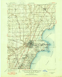
1929 Map of Mt Clemens
USGS Topo · Published 1950About this map
Mt Clemens sits at the heart of this Macomb County landscape, where the Clinton River and its multiple branches converge before entering Anchor Bay. Surveyed in the mid-1920s, the map reveals a region transitioning from an agricultural and milling economy toward industrialization and military significance. The presence of a Sugar Mill near the river and the expansive Selfridge Field along the shoreline of Lake Saint Clair illustrate this shift. Transportation is anchored by the Grand Trunk Railway and the Detroit United Railway, which connected early settlements like New Haven, Chesterfield, and Fraser. Local life is detailed through numerous rural landmarks, including St Pauls Lutheran Sch and several family-named drainage districts like Cady Drain and Harrington Drain. From the early developments of Saint Clair Shores to the scattered crossroads of Waldenburg and Milton, the sheet captures a period of significant coastal and inland growth.
Find a feature on this map
73 named features on this map. Tap any name to fly to it.
Don’t see what you’re looking for? This feature index may not catch every label — zoom into the map to look around manually.
Map Details
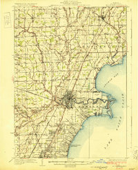
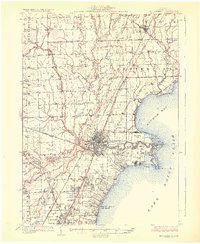
Editions of this 1929 Mt Clemens Map
4 editions found

Other maps of this area

1905 · Detroit
USGS Topo · 1:62,500

1905 · Grosse Pointe
USGS Topo · 1:62,500

1908 · Rochester
USGS Topo · 1:62,500

1912 · Mt Clemens
USGS Topo · 1:62,500

1914 · Armada
USGS Topo · 1:62,500

1914 · Algonac
USGS Topo · 1:62,500

1918 · Detroit
USGS Topo · 1:62,500

1918 · Grosse Pointe
USGS Topo · 1:62,500

1924 · Detroit
USGS Topo · 1:62,500

1928 · Armada
USGS Topo · 1:62,500