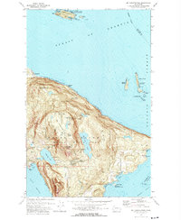
1978 Map of Mt Constitution
USGS Topo · Published 1978About this map
Moran State Park dominates the rugged interior of Orcas Island in this late-1970s survey, defined by the towering heights of Buck Mountain and Mt Pickett. The landscape is a network of freshwater bodies including Mountain Lake and Cascade Lake, with several named waterfalls like Cavern Falls and Rustic Falls feeding into the drainage systems. Coastal settlements and landmarks such as Buckhorn and the Rosario area indicate a mix of established community life and recreational geography. Beyond the main island, the map details the surrounding waters of the Strait of Georgia and Rosario Strait, including smaller landmasses like Matia Island and Clark Island, both designated as state parks and wildlife refuges. This cartography captures the area's transition into a major conservation and recreation hub, evidenced by the numerous campgrounds, picnic areas, and the Observation Tower atop the summit.
Find a feature on this map
64 named features on this map. Tap any name to fly to it.
Don’t see what you’re looking for? This feature index may not catch every label — zoom into the map to look around manually.
Map Details
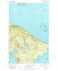
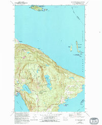
Editions of this 1978 Mt Constitution Map
3 editions found
Other maps of this area

1907 · Blaine
USGS Topo · 1:62,500

1943 · Orcas Island
USGS Topo · 1:62,500

1943 · Anacortes
USGS Topo · 1:62,500

1951 · Anacortes
USGS Topo · 1:62,500

1952 · Lummi Bay
USGS Topo · 1:24,000

1952 · Blaine
USGS Topo · 1:62,500

1957 · Orcas Island
USGS Topo · 1:62,500

1957 · Victoria
USGS Topo · 1:250,000

1973 · Cypress Island
USGS Topo · 1:24,000

1973 · Sucia Island
USGS Topo · 1:24,000