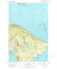
1978 Map of Mt Constitution
USGS Topo · Published 1978About this map
Mt Constitution dominates the terrain of northeastern Orcas Island, serving as the central landmark for this 1978 survey. The landscape is defined by the high elevations of Moran State Park, where steep ridges drop toward the waters of East Sound and Rosario Strait. Significant freshwater features like Mountain Lake and Cascade Lake are connected by a series of falls, including Cavern Falls and Hidden Falls, illustrating the island's complex drainage system.
Find a feature on this map
68 named features on this map. Tap any name to fly to it.
Don’t see what you’re looking for? This feature index may not catch every label — zoom into the map to look around manually.
Map Details
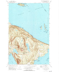
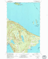
Editions of this 1978 Mt Constitution Map
3 editions found
Other maps of this area

1907 · Blaine
USGS Topo · 1:62,500

1943 · Orcas Island
USGS Topo · 1:62,500

1943 · Anacortes
USGS Topo · 1:62,500

1951 · Anacortes
USGS Topo · 1:62,500

1952 · Lummi Bay
USGS Topo · 1:24,000

1952 · Blaine
USGS Topo · 1:62,500

1957 · Orcas Island
USGS Topo · 1:62,500

1957 · Victoria
USGS Topo · 1:250,000

1973 · Cypress Island
USGS Topo · 1:24,000

1973 · Sucia Island
USGS Topo · 1:24,000