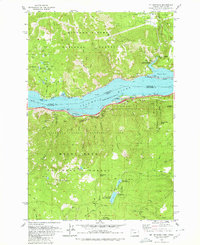
1979 Map of Mt. Defiance
USGS Topo · Published 1980About this map
The Columbia River forms a massive corridor through the Cascades on this 1970s survey, marking the boundary between Washington and Oregon. Along the northern shore in Washington, the Little White Salmon National Fish Hatchery and the clustered settlements of Mill A and Mill B reflect the region's managed natural resources and industrial heritage. The landscape is defined by the steep elevation gains from the river level up to the summit of Mt Defiance, where a radio facility and lookout overlook the Columbia Gorge Recreation Area. Transport patterns are preserved here through the dual railroad lines of the Burlington Northern and Union Pacific that hug the riverbanks. High-altitude lakes including North Lake and Warren Lake sit tucked away in the Mount Hood National Forest, while the Pacific Crest Trail traverses the high ridges, connecting the dense network of protected lands such as Viento State Park and Gifford Pinchot National Forest.
Find a feature on this map
70 named features on this map. Tap any name to fly to it.
Don’t see what you’re looking for? This feature index may not catch every label — zoom into the map to look around manually.
Map Details
Editions of this 1979 Mt. Defiance Map
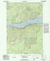
2 editions found
Other maps of this area

1926 · Hood River
USGS Topo · 1:125,000

1929 · Hood River
USGS Topo · 1:125,000

1953 · The Dalles
USGS Topo · 1:250,000

1956 · The Dalles
USGS Topo · 1:250,000

1957 · The Dalles
USGS Topo · 1:250,000

1957 · Bonneville Dam
USGS Topo · 1:62,500

1957 · Wind River
USGS Topo · 1:62,500

1957 · Willard
USGS Topo · 1:62,500

1957 · Hood River
USGS Topo · 1:62,500
1974 · Parkdale
USGS Topo · 1:24,000