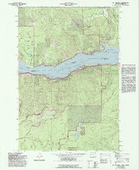
1979 Map of Mt. Defiance
USGS Topo · Published 1993About this map
The Columbia River forms a massive corridor between Oregon and Washington on this 1990s revision, marking the border between Skamania Co and Hood River Co. The landscape is dominated by steep volcanic terrain, rising from the river's Bonneville Normal Pool up to the high peak of Mt Defiance. Historical transport and early industry are evident in the Old Wagon Road Historical Area and the presence of Mill A and Mill B near the Little White Salmon River.
Find a feature on this map
83 named features on this map. Tap any name to fly to it.
Don’t see what you’re looking for? This feature index may not catch every label — zoom into the map to look around manually.
Map Details
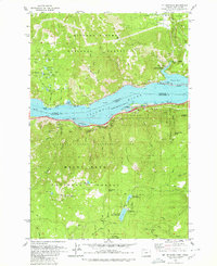
Editions of this 1979 Mt. Defiance Map
2 editions found
Other maps of this area

1926 · Hood River
USGS Topo · 1:125,000

1929 · Hood River
USGS Topo · 1:125,000

1953 · The Dalles
USGS Topo · 1:250,000

1956 · The Dalles
USGS Topo · 1:250,000

1957 · The Dalles
USGS Topo · 1:250,000

1957 · Bonneville Dam
USGS Topo · 1:62,500

1957 · Wind River
USGS Topo · 1:62,500

1957 · Willard
USGS Topo · 1:62,500

1957 · Hood River
USGS Topo · 1:62,500
1974 · Parkdale
USGS Topo · 1:24,000