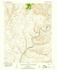
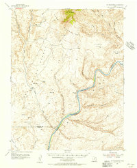
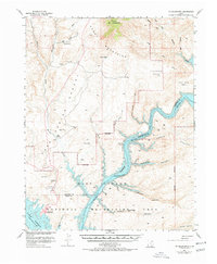
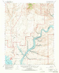
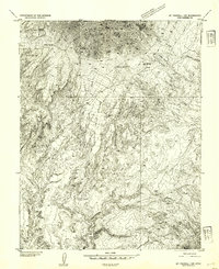
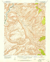
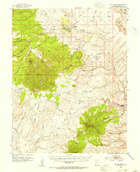
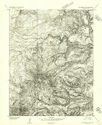
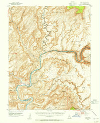
1953 Map of Mt. Ellsworth
USGS Topo · Published 1961About this map
Mt Ellsworth dominates the northern skyline in this 1950s survey of the southeast Henry Mountains. The landscape is defined by the winding course of the Colorado River as it carves through Glen Canyon, a section of the river mapped here prior to the completion of the Glen Canyon Dam. Along the riverbanks, numerous gravel bars are documented, including Olympia Bar, California Bar, and Moki Bar, which were historically significant sites for early prospecting and river navigation.
Find a feature on this map
42 named features on this map. Tap any name to fly to it.
Don’t see what you’re looking for? This feature index may not catch every label — zoom into the map to look around manually.
Map Details
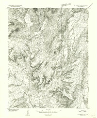
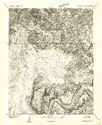
Editions of this 1953 Mt. Ellsworth Map
4 editions found
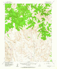
Other maps of this area

1886 · Henry Mountains
USGS Topo · 1:250,000

1892 · Henry Mountains
USGS Topo · 1:250,000
1952 · Mt Pennell 1 SW
USGS Topo · 1:24,000
1952 · Mancos Mesa
USGS Topo · 1:62,500
1952 · Mt Hillers
USGS Topo · 1:62,500
1952 · Mt Pennell 1 SE
USGS Topo · 1:24,000
1952 · Hite
USGS Topo · 1:62,500
1953 · Mt Pennell
USGS Topo · 1:62,500
1953 · Mt Pennell 2 SE
USGS Topo · 1:24,000
1953 · Mt Pennell 4 NE
USGS Topo · 1:24,000