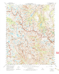
1957 Map of Mt. Goddard
USGS Topo · Published 1980About this map
Cardinal Mine and the Schober Mine stand out as rare industrial markers in this high-altitude wilderness, where Inyo and Fresno counties meet along the crest. The map details the transition from the alpine basins of Humphreys Basin and the Ionian Basin to the deep glacial cuts of Evolution Valley. Several mining operations and exploratory sites like the Merrill Prospect and Brackett Prospect are documented near the eastern lakes, indicating the era's mineral interest even in extreme terrain. High-altitude landmarks such as The Keyhole, The Three Sirens, and the Muir Trail reflect the region's established role for backcountry travel. The landscape is dominated by massive peaks like Mt Goddard and Mt Darwin, alongside numerous glacial features including the Goethe Glacier and McClure Meadow.
Find a feature on this map
186 named features on this map. Tap any name to fly to it.
Don’t see what you’re looking for? This feature index may not catch every label — zoom into the map to look around manually.
Map Details
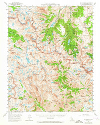
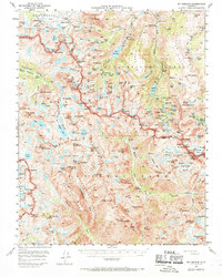
Editions of this 1957 Mt. Goddard Map
3 editions found
Other maps of this area

1903 · Tehipite
USGS Topo · 1:125,000

1905 · Tehipite
USGS Topo · 1:125,000

1907 · Mt. Whitney
USGS Topo · 1:125,000

1912 · Mt. Goddard
USGS Topo · 1:125,000

1913 · Bishop
USGS Topo · 1:125,000

1919 · Mt. Whitney
USGS Topo · 1:125,000

1937 · Mt. Whitney
USGS Topo · 1:125,000

1947 · Mariposa
USGS Topo · 1:250,000

1948 · Fresno
USGS Topo · 1:250,000

1948 · Mariposa
USGS Topo · 1:250,000