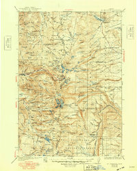
1930 Map of Mt. Jefferson
USGS Topo · Published 1948About this map
Mt Jefferson dominates the high Cascades on this 1927 survey, serving as the convergence point for the boundaries of Marion, Jefferson, and Linn counties. The landscape is defined by its glacial and volcanic features, from the sharp peak of Lionshead to the sprawling Jefferson Park and the cinder cones of the south. This era shows the high-country wilderness before modern infrastructure, where travel was primarily via routes like the Oregon Skyline Trail.
Find a feature on this map
108 named features on this map. Tap any name to fly to it.
Don’t see what you’re looking for? This feature index may not catch every label — zoom into the map to look around manually.
Map Details
Editions of this 1930 Mt. Jefferson Map
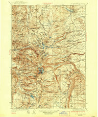
3 editions found
Other maps of this area

1916 · Estacada
USGS Topo · 1:125,000

1924 · Mount Hood
USGS Topo · 1:125,000

1926 · Bend
USGS Topo · 1:125,000

1927 · Mount Hood
USGS Topo · 1:125,000

1927 · Mt. Jefferson
USGS Topo · 1:125,000

1928 · Madras
USGS Topo · 1:125,000

1929 · Mill City
USGS Topo · 1:125,000

1929 · Bend
USGS Topo · 1:125,000

1929 · Three Sisters
USGS Topo · 1:125,000

1930 · Mt. Jefferson
USGS Topo · 1:125,000