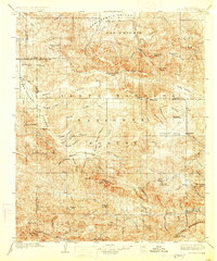
1903 Map of Mt. Pinos
USGS Topo · Published 1926About this map
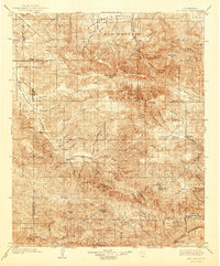
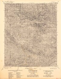
Santa Barbara National Forest dominates this 1901 survey, revealing a landscape of steep canyons and high summits where the borders of Kern, Ventura, and Santa Barbara counties meet. The high country is defined by the massive Mt. Pinos and the geological complexity of the San Emigdio region, while the Cuyama Valley and San Joaquin Valley flank the northern and western margins.
Find a feature on this map
78 named features on this map. Tap any name to fly to it.
Don’t see what you’re looking for? This feature index may not catch every label — zoom into the map to look around manually.
Map Details
Editions of this 1903 Mt. Pinos Map
7 editions found
Other maps of this area

1900 · Piru
USGS Topo · 1:62,500

1902 · Santa Ynez
USGS Topo · 1:125,000

1903 · Santa Paula
USGS Topo · 1:62,500

1903 · Mt. Pinos
USGS Topo · 1:125,000

1903 · Tejon
USGS Topo · 1:125,000

1903 · Camulos
USGS Topo · 1:125,000

1904 · Ventura
USGS Topo · 1:62,500

1905 · Santa Ynez
USGS Topo · 1:125,000

1910 · Buena Vista Lake
USGS Topo · 1:125,000

1912 · McKittrick
USGS Topo · 1:125,000