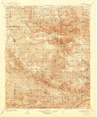
1903 Map of Mt. Pinos
USGS Topo · Published 1942About this map
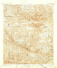
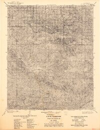
The high backcountry where the San Joaquin Valley meets the transverse ranges is captured here during a period of early resource extraction and frontier settlement. Much of the terrain is defined by the Los Padres National Forest, with industrial activity centered on the Frazier Borax Mine east of Lockwood Valley. The map details a landscape of high alpine flats and remote canyons, where early homesteads and outposts like Pattiway and Ozena provided rare points of human habitation along the Cuyama River.
Find a feature on this map
71 named features on this map. Tap any name to fly to it.
Don’t see what you’re looking for? This feature index may not catch every label — zoom into the map to look around manually.
Map Details
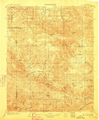
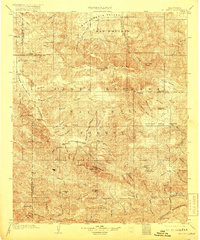
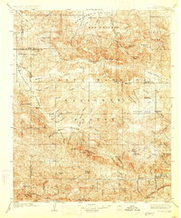
Editions of this 1903 Mt. Pinos Map
7 editions found
Other maps of this area

1900 · Piru
USGS Topo · 1:62,500

1902 · Santa Ynez
USGS Topo · 1:125,000

1903 · Santa Paula
USGS Topo · 1:62,500

1903 · Mt. Pinos
USGS Topo · 1:125,000

1903 · Tejon
USGS Topo · 1:125,000

1903 · Camulos
USGS Topo · 1:125,000

1904 · Ventura
USGS Topo · 1:62,500

1905 · Santa Ynez
USGS Topo · 1:125,000

1910 · Buena Vista Lake
USGS Topo · 1:125,000

1912 · McKittrick
USGS Topo · 1:125,000