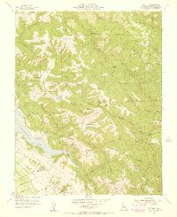
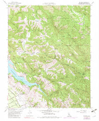
1955 Map of Mt. Sizer
USGS Topo · Published 1956About this map
Henry Willard Coe Memorial Park dominates this mid-century landscape in the hills east of the Santa Clara Valley. The map documents a rugged interior defined by working ranches and private land grants, including the Canada De San Felipe Y Las Animas and Ojo De Agua De La Coche. Deep within the canyons, seasonal springs and family-named landmarks like Los Huecos Ranch, Cee Ranch, and the Oak Flat Ranch suggest a remote pastoral economy dependent on small water sources like Madrone Soda Sprs Water Tank and Blackberry Spring.
Find a feature on this map
62 named features on this map. Tap any name to fly to it.
Don’t see what you’re looking for? This feature index may not catch every label — zoom into the map to look around manually.
Map Details
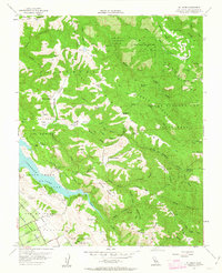
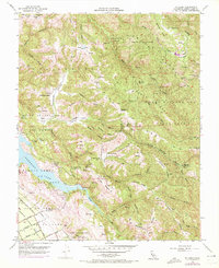
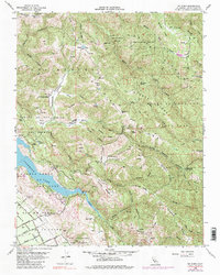
Editions of this 1955 Mt. Sizer Map
5 editions found
Other maps of this area

1897 · Mt. Hamilton
USGS Topo · 1:62,500

1917 · Morgan Hill
USGS Topo · 1:62,500

1921 · Gilroy Hot Springs
USGS Topo · 1:62,500

1938 · Mt. Boardman
USGS Topo · 1:62,500

1939 · Morgan Hill
USGS Topo · 1:62,500

1939 · Gilroy Hot Springs
USGS Topo · 1:62,500

1940 · Gilroy Hot Springs
USGS Topo · 1:62,500

1941 · Morgan Hill
USGS Topo · 1:62,500

1942 · Mt. Hamilton
USGS Topo · 1:62,500

1942 · Mt. Boardman
USGS Topo · 1:62,500