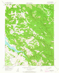
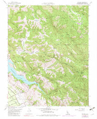
1955 Map of Mt. Sizer
USGS Topo · Published 1963About this map
Henry Willard Coe State Park occupies much of this central California landscape, characterized by complex ridgelines and creek drainages in the Diablo Range. The map details the transition from the high ridges of Pine Ridge and Middle Ridge down toward the Coyote Lake reservoir. Historic ranching activity is evident through named sites like Los Huecos Ranch, Oak Flat Ranch, and Coe Ranch, while the presence of Madrone Soda Sprs and several distinct springs indicates the hydrological character of the canyon floors. The southwestern corner shows a shift toward more organized transport, where the pipeline and roads like Hill Road and San Pedro Ave emerge from the foothills. Numerous jeep trails and horse trails wind through Soda Springs Canyon and over Schoolhouse Ridge, illustrating the area's legacy as a site for both hard-scrabble ranching and wilderness recreation.
Find a feature on this map
81 named features on this map. Tap any name to fly to it.
Don’t see what you’re looking for? This feature index may not catch every label — zoom into the map to look around manually.
Map Details
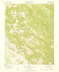
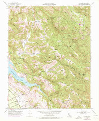
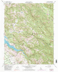
Editions of this 1955 Mt. Sizer Map
5 editions found
Other maps of this area

1897 · Mt. Hamilton
USGS Topo · 1:62,500

1917 · Morgan Hill
USGS Topo · 1:62,500

1921 · Gilroy Hot Springs
USGS Topo · 1:62,500

1938 · Mt. Boardman
USGS Topo · 1:62,500

1939 · Morgan Hill
USGS Topo · 1:62,500

1939 · Gilroy Hot Springs
USGS Topo · 1:62,500

1940 · Gilroy Hot Springs
USGS Topo · 1:62,500

1941 · Morgan Hill
USGS Topo · 1:62,500

1942 · Mt. Hamilton
USGS Topo · 1:62,500

1942 · Mt. Boardman
USGS Topo · 1:62,500