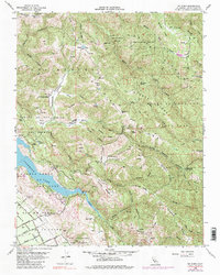
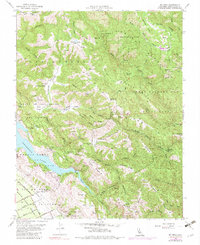
1955 Map of Mt. Sizer
USGS Topo · Published 1983About this map
Henry Willard Coe State Park dominates the high country of the Diablo Range in this mid-century survey, revealing a landscape defined by cattle ranching and early conservation efforts. The map records several established working lands, including Oak Flat Ranch, Los Huecos Ranch, and Coe Ranch, situated along the ridges and valleys between Coyote Creek and the Middle Fork Coyote Creek. The terrain is deeply carved by drainage systems like Vance Canyon and Samson Canyon, leading down to the major reservoirs of Coyote Lake and Anderson Lake. Evidence of localized social and recreational life appears through labels for the Laurel Springs Club and the mineral waters of Madrone Soda Sprs. The complex boundary lines of old Mexican land grants, such as Ojo De Agua De La Coche and San Francisco De Las Llagas, still persist as the underlying cadastral framework of the county.
Find a feature on this map
74 named features on this map. Tap any name to fly to it.
Don’t see what you’re looking for? This feature index may not catch every label — zoom into the map to look around manually.
Map Details
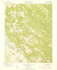
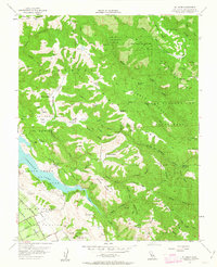
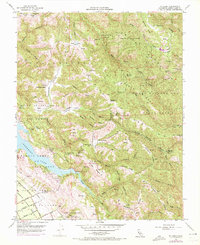
Editions of this 1955 Mt. Sizer Map
5 editions found
Other maps of this area

1897 · Mt. Hamilton
USGS Topo · 1:62,500

1917 · Morgan Hill
USGS Topo · 1:62,500

1921 · Gilroy Hot Springs
USGS Topo · 1:62,500

1938 · Mt. Boardman
USGS Topo · 1:62,500

1939 · Morgan Hill
USGS Topo · 1:62,500

1939 · Gilroy Hot Springs
USGS Topo · 1:62,500

1940 · Gilroy Hot Springs
USGS Topo · 1:62,500

1941 · Morgan Hill
USGS Topo · 1:62,500

1942 · Mt. Hamilton
USGS Topo · 1:62,500

1942 · Mt. Boardman
USGS Topo · 1:62,500